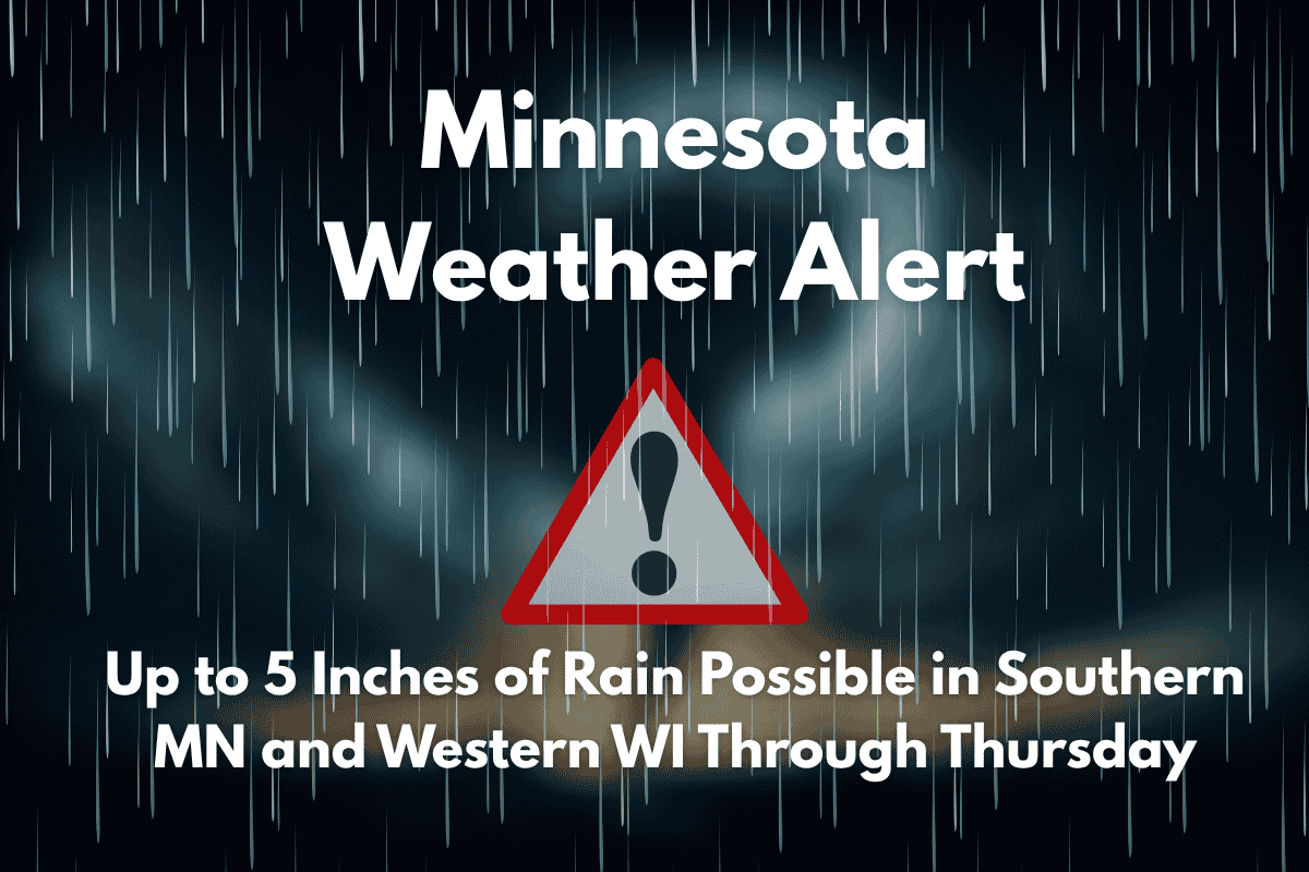
Southern Minnesota and western Wisconsin are set to face significant rainfall through Thursday, with the potential for up to 5 inches in some areas. This heavy rain could lead to flooding concerns, especially on rural roads and in low-lying regions. With widespread rain expected throughout the week, residents should stay alert for potential hazards, including water-covered roads and reduced visibility.
Heavy Rainfall Expected
The National Weather Service in the Twin Cities has issued a weather alert for southern Minnesota and western Wisconsin, forecasting heavy rain from Tuesday afternoon through early Friday. The heaviest rainfall is expected to occur between Wednesday and Thursday, bringing a soaking to the region.
Areas like Rochester, Red Wing, and the Twin Cities metro are anticipated to receive 2 to 4 inches of rain, while other regions near Worthington, Rice Lake, and Eau Claire may see totals surpassing 5 inches.
This significant amount of rain could result in flooding, especially in low-lying areas and flood-prone zones. Local emergency managers have warned residents to stay informed and avoid driving through water-covered roads, particularly on highways like U.S. Highway 52 and I-94, which may experience pooling water and reduced visibility.
Impacts on Roadways
With the expected rainfall, several roads are likely to be affected, especially in rural areas. Roads like U.S. Highway 52 and I-94 are expected to see pooling water, which could make driving conditions dangerous.
Reduced visibility due to heavy rain is also a concern, so drivers should exercise caution, particularly in areas known for frequent flooding. Residents in flood-prone areas should remain vigilant and monitor any local weather advisories.
Weather Outlook and Temperature Changes
As for the temperature, daytime highs will remain cool throughout the week due to the rain, with temperatures staying in the low 70s. However, by Friday, the rain will ease, and the region will see a warm-up, with highs approaching 80°F.
Saturday is expected to be hot, with highs near 90°F, offering a brief break from the wet weather. By Sunday, rain chances will return, but Friday will provide a dry and warmer day.
Southern Minnesota and western Wisconsin are facing a heavy rain event this week, with up to 5 inches of rain expected in some areas. Residents are advised to stay alert, especially in flood-prone areas, and avoid driving on flooded roads.
While the rain will be heavy and persistent, temperatures will rise by Friday, bringing a welcome break from the wet weather. Stay informed and prepared as rain alerts remain in effect through Friday morning.


