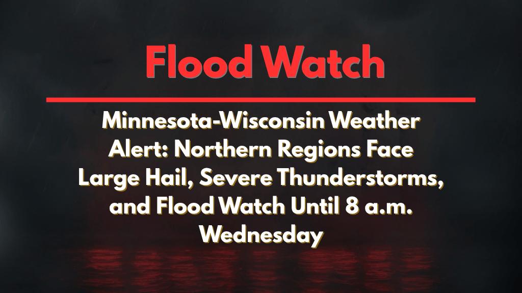
Duluth, Minnesota – Northern Minnesota and northwest Wisconsin are preparing for multiple rounds of severe thunderstorms, with damaging wind gusts and large hail expected through 8 a.m. Wednesday. Residents from Duluth to Ashland should be prepared for a heightened risk of flash flooding and hazardous travel overnight.
According to the National Weather Service in Duluth, a Flood Watch is in effect for Carlton, southern St. Louis, southern Lake, and southern Cook counties in Minnesota, and Douglas, Bayfield, Ashland, Iron, Burnett, Washburn, and Sawyer counties in Wisconsin.
Thunderstorms are forecast to redevelop and intensify along a stalled front, potentially dumping 2 to 4 inches of rain, with localized amounts up to 4+ inches. The storms may also bring 1.5-inch hail and winds reaching 65 mph.
Areas Most Affected by Storms and Flooding
Travel is expected to be dangerous along highways such as I-35, U.S. Highway 2, and other major roads in Duluth, Superior, Two Harbors, Moose Lake, and Ashland. Tribal lands and low-lying neighborhoods face an increased risk of flooding, especially in urban areas and those with poor drainage systems.
Safety Measures and Preparation
Move valuables to higher ground to avoid damage from flooding.
Charge your devices and have emergency kits ready in case of power outages.
Avoid flooded roads—just 12 inches of water can sweep away most vehicles.
Be prepared for hazardous travel conditions and strong winds overnight.
This is the highest severe weather threat in the region so far this summer. Additional warnings could be issued overnight as storms continue to develop and train across the Northland.


