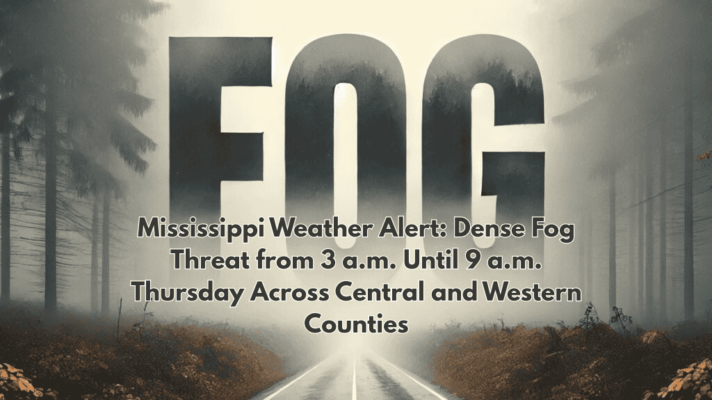
Dense fog is expected early Thursday across parts of Mississippi and northeastern Louisiana, reducing visibility to as low as one-quarter mile and creating hazardous conditions for the morning commute. The thickest fog is most likely from 3 a.m. to 9 a.m., with gradual improvement by mid-morning.
Timing and coverage
The most impactful fog window runs from 3 a.m. to 9 a.m. Thursday, with the densest pockets across western and central Mississippi.
Communities including Vicksburg, Yazoo City, and Jackson face the greatest risk, with lighter but still significant patchy fog in surrounding counties.
Northeastern Louisiana, including Monroe and Tallulah, may also see commute-time slowdowns due to reduced visibility.
Travel impacts
Sudden drops in visibility are possible along major routes, especially stretches of I-20 and U.S. 49 during peak travel hours.
Drivers should use low beams, slow down, increase following distance, and allow extra time to reach destinations.
Air travelers could encounter delays at Jackson–Medgar Wiley Evers International Airport until conditions improve mid-morning.
Safety guidance
Use low beams or fog lights; avoid high beams, which can reflect off fog and worsen glare.
Reduce speed gradually, leave extra space, and avoid sudden braking; pull into a safe location if visibility becomes severely limited.
Secure outdoor items overnight in case moisture and light winds prolong the fog and any advisories into late morning.
Outlook
Fog should lift after 9 a.m., improving travel conditions through late morning.
Additional advisories are possible if lingering moisture maintains low clouds and patchy fog beyond the early commute window.


