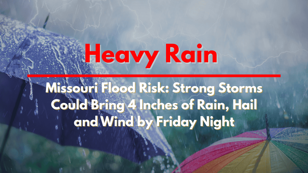
Missouri is preparing for a significant storm event Friday night, with strong to severe storms expected to bring up to 4 inches of rain, damaging winds, and hail. These storms will increase the risk of flash flooding, particularly in low-lying and urban areas.
What to Expect from the Storms
The National Weather Service in Kansas City has issued warnings for Missouri, stating that an initial wave of storms could hit northwest Missouri late Thursday. Areas near Maryville, Bethany, and St. Joseph may experience wind gusts ranging from 40 to 60 mph.
While this first round of storms will be more isolated, a more intense and dangerous system is expected to move across the state on Friday evening and into early Saturday.
Severe Weather Threat in Missouri Cities
Cities like Kansas City, Columbia, Chillicothe, Sedalia, and Jefferson City could see severe weather, including quarter-sized hail, wind gusts exceeding 60 mph, and heavy rainfall that could cause localized flooding.
The rain could total between 2 and 4 inches, especially in areas where storms stall or repeat. Flash flooding could pose a significant risk, particularly in areas that are prone to water accumulation.
Safety Tips for Residents
Residents in the affected areas should take precautions to stay safe during the storm. It is important to avoid driving through flooded roads, as even shallow water can be dangerous.
Secure outdoor furniture and items that could be blown away by high winds, and prepare for potential power outages or road closures. Emergency kits with essential items, as well as fully charged phones, are strongly recommended before the storm arrives on Friday evening.
When Will the Storms End?
The flood and storm threat could extend into early Saturday, depending on how the storm system evolves. Additional alerts and warnings may be issued throughout Friday and into Saturday morning if the conditions worsen.


