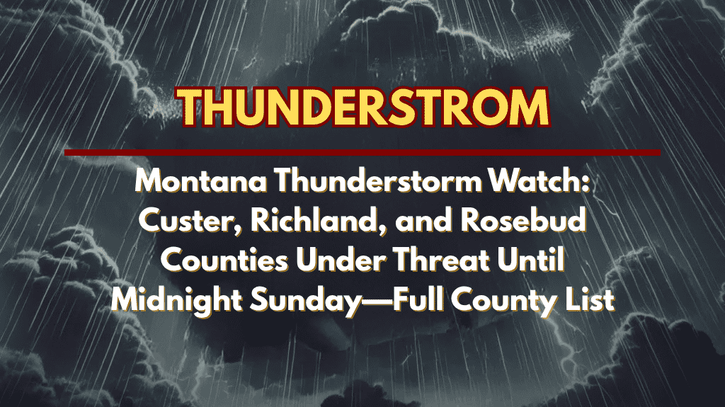
Miles City, MT – Strong thunderstorms are expected to impact eastern Montana this Sunday evening, with damaging winds and lightning threatening Custer, Richland, Rosebud, and nine other counties until midnight Sunday.
Affected Areas:
Counties Under Threat: Carter, Custer, Dawson, Fallon, Garfield, McCone, Powder River, Prairie, Richland, Rosebud, Treasure, and Wibaux counties.
Cities at Risk: Miles City (Custer County), Sidney (Richland County), Forsyth (Rosebud County), and surrounding areas.
Hazardous Conditions:
Winds: Gusts could exceed 60 mph, particularly near major highways such as I-94 and Highway 200, creating dangerous travel conditions.
Lightning: Increased risk of lightning strikes, which could ignite fires or cause power outages.
Travel Hazards: High winds and poor visibility will make driving hazardous, especially on rural highways.
Downed Trees and Power Outages: Storms may cause scattered power outages and bring down trees, further complicating travel and safety.
Safety Tips:
Travel Caution: If possible, avoid non-essential travel during the storm. If driving, reduce speed and be cautious of debris on the roads.
Secure Outdoor Items: Bring in or secure loose items like lawn furniture, trash cans, and other objects that could become projectiles in high winds.
Seek Shelter: Mobile homes and temporary shelters may not provide adequate protection. Seek a sturdier building if storms approach.
Stay Updated: Keep your mobile devices charged and stay tuned to local news and weather updates for real-time alerts.
The Severe Thunderstorm Watch remains in effect until midnight Sunday, with the threat of strong winds, lightning, and possibly scattered power outages. Additional watches or warnings could be issued overnight. Stay alert and be prepared to take shelter as conditions change.


