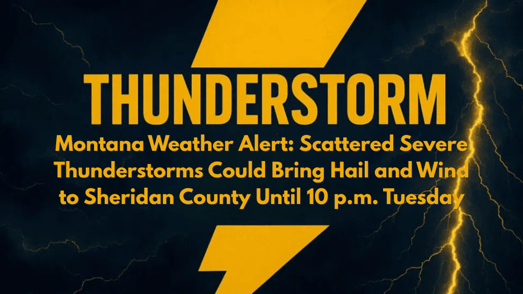
Billings, Montana – Severe thunderstorms are expected to impact southern and eastern Montana Tuesday afternoon, with Sheridan County seeing the worst of it between 2 p.m. and 10 p.m..
According to the National Weather Service in Billings, a “Slight Risk” (Level 2) zone has expanded to include Sheridan County, where storms may bring quarter-sized hail, wind gusts up to 60 mph, and localized heavy rain. The combination of cooler, moisture-rich air is creating instability, which is heightening the potential for severe weather in the region.
Areas at Higher Risk and Weather Hazards
Cities at higher risk include Sheridan, Broadus, Hardin, and Miles City. Travelers along Highway 212 and I-94 should be prepared for reduced visibility, slick roads, and sudden wind shifts. Residents are encouraged to secure outdoor items, stay weather-aware, and identify nearby shelter in case severe weather warnings are issued.
Timing and Future Outlook
The storms are expected to develop this afternoon and gradually weaken after sunset. This will be the first significant severe weather day of July for southeast Montana, and the region could experience additional thunderstorms later in the week if weather conditions remain favorable.
Warnings will remain in effect until 10 p.m. Tuesday, so continue to monitor for updated alerts.


