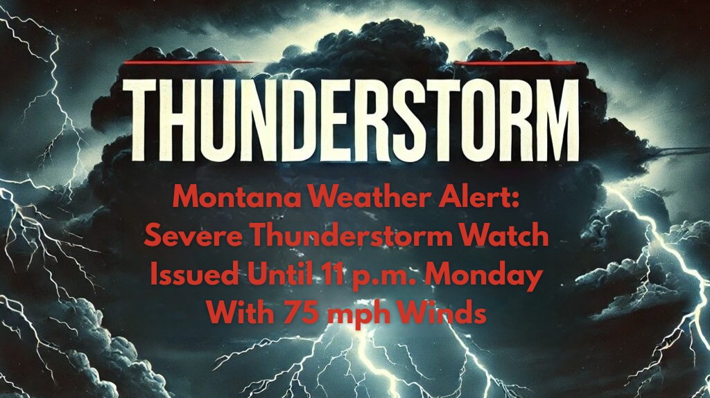
Great Falls, Montana – Severe thunderstorms are expected to move through central and eastern Montana on Monday evening, with the National Weather Service warning of damaging winds up to 75 mph and isolated large hail through 11 p.m.. Counties from Great Falls to Billings, including Cascade, Yellowstone, Fergus, and Valley, are under a Severe Thunderstorm Watch as multiple storm clusters move east-northeast across the region.
🌩️ What to Expect: Thunderstorms with Damaging Winds and Hail
The NWS Storm Prediction Center has issued the watch due to the potential for damaging winds over 60 mph, which could lead to downed trees and power lines, resulting in scattered power outages. Travel will be hazardous on I-15, U.S. 87, and other secondary highways, where high winds and reduced visibility could make driving dangerous.
Additionally, hail up to 1.5 inches in diameter is possible, which could damage vehicles, dent roofs, and threaten unprotected crops, especially in rural areas.
🌪️ Tornado Risk and Shelter Advice
While large hail and damaging winds are the primary threats, severe thunderstorms can sometimes produce tornadoes, especially in mobile homes or outdoor areas. The NWS advises anyone in these situations to seek sturdy shelter at the first sign of approaching storms.
🚗 Travel Safety: Caution on the Roads
Travelers and residents are urged to secure outdoor items that could be blown around by strong winds and to stay off the roads if storms approach. Be especially cautious if traveling on I-15 or U.S. 87, where storms may cause sudden low visibility and flash flooding in certain areas. Keep electronic devices charged and have flashlights ready in case of power outages.
⏳ Timing: When to Expect the Storms
The Severe Thunderstorm Watch is in effect through Monday evening, with storms expected to intensify as they move across the region. The threat should diminish by 11 p.m., but conditions could remain volatile, and additional advisories may be issued if storms continue eastward.
🌡️ Five-Day Forecast for Great Falls and Surrounding Areas
Monday, August 7:
Severe thunderstorms expected between 5 p.m. and 11 p.m.
Winds up to 75 mph and hail up to 1.5 inches
High: 90°F | Low: 65°F
Tuesday, August 8:
Partly cloudy with a slight chance of afternoon storms
High: 88°F | Low: 64°F
Wednesday, August 9:
Sunny and warm, with no rain expected
High: 92°F | Low: 67°F
Thursday, August 10:
Mostly sunny and hot
High: 94°F | Low: 68°F
Friday, August 11:
Clear skies, with temperatures remaining in the 90s
High: 93°F | Low: 70°F
📝 Final Thoughts
Great Falls and surrounding areas in central and eastern Montana are facing severe thunderstorms on Monday evening, with damaging winds, large hail, and the potential for flash flooding.
Stay prepared by securing outdoor items, monitoring weather alerts, and staying off the roads during storms. Keep flashlights and charged devices handy in case of power outages. Stay safe and remain weather-aware as conditions may change rapidly.


