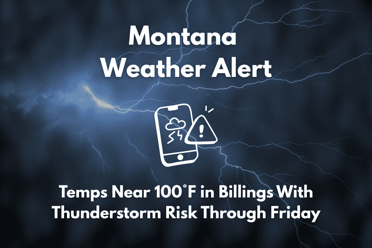
Billings, Mont. – Dangerous heat is expected to intensify across Montana, with high temperatures reaching the mid-90s to near 100°F in Billings, Miles City, and Big Timber this week. Along with the heat, there’s a growing risk of afternoon and evening thunderstorms through at least Friday.
Heat and Storm Risk in Montana
According to the National Weather Service in Billings, the hottest temperatures will peak midweek. Big Timber is forecast to hit 97°F on Tuesday, and Miles City could approach 99°F. Scattered thunderstorms are expected to develop each afternoon and evening, especially across central and eastern Montana, creating the potential for quick downpours and lightning. Residents are advised to keep an eye on the forecast and stay prepared for sudden weather changes.
Communities at Risk for Storms
Areas such as Hardin, Forsyth, and Red Lodge will experience rain chances ranging from 20% to 45% daily through Friday. Due to the combination of heat and storms, outdoor activities should be planned carefully. It is recommended to hydrate frequently and avoid prolonged exposure during peak heat hours. Those traveling or enjoying outdoor recreation should adjust their plans around potential storm windows.
Ongoing Storm Risks Into the Weekend
The threat of storms will persist into the holiday weekend, particularly in areas like Sheridan and Cooke City, where rain chances could last through Sunday. Be sure to monitor weather updates, especially during afternoon and evening hours when storms are most likely to develop.
Five-Day Forecast for Billings (July 1–July 5)
| Day | Weather | High Temperature | Chance of Storms |
|---|---|---|---|
| Tuesday | Scattered storms possible | 96°F | 15% |
| Wednesday | PM storms likely | 93°F | 35% |
| Thursday | Scattered storms | 88°F | 45% |
| Friday | Chance of rain | 84°F | 35% |
| Saturday | Isolated storms | 83°F | 25% |


