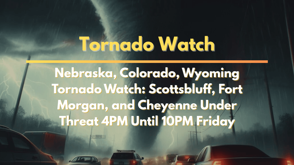
On Friday, August 1, a Tornado Watch has been issued for areas across southeastern Wyoming, the Nebraska Panhandle, and northeast Colorado, putting residents on high alert until 10 p.m. MDT. The watch includes cities such as Cheyenne, Scottsbluff, Fort Morgan, and Fort Collins, where there is a risk of severe thunderstorms, tornadoes, large hail, and strong winds.
People in these regions need to be prepared for possible disruptions, including travel delays and damage to infrastructure, as gusty winds and heavy rainfall are expected to continue late into the evening.
Tornado and Severe Weather Threat
The National Weather Service Storm Prediction Center has identified several counties in Wyoming, Nebraska, and Colorado as being under the watch. These areas include Goshen, Laramie, and Platte in Wyoming; Scotts Bluff, Cheyenne, Banner, Morrill, and Kimball in Nebraska; and Weld, Logan, Morgan, Phillips, Sedgwick, and Washington in Colorado.
These regions could experience isolated tornadoes, large hail (up to the size of apples), and winds gusting over 70 mph. There is also a risk of flash flooding in low-lying areas as storms move through.
Safety Tips for Residents and Travelers
Residents in affected areas should take precautions before the storms hit. In Cheyenne and Wheatland, it is advised to secure loose outdoor items and charge electronic devices in case of power outages.
In Torrington and Scottsbluff, drivers should avoid non-essential travel after sunset, as flooding could make roads unsafe. Fort Morgan and Sterling residents may face power outages, and fallen branches could obstruct roadways.
It is essential for everyone in the affected zones to stay informed via NOAA Weather Radio or local alerts. If a tornado warning is issued, seek immediate shelter in a safe location, such as a basement or an interior room without windows. Prepare for the possibility of storms continuing through the night and be ready to take action if necessary.
Ongoing Weather Updates
While the Tornado Watch is currently in effect until 10 p.m. MDT on Friday, August 1, further watches or warnings may be issued if weather conditions worsen. Local authorities and weather agencies will continue to monitor the situation and provide updates to ensure public safety.
As the storm system moves across the region, emergency management officials urge everyone to remain vigilant, especially if they live in areas that could experience the worst of the storm.
The Tornado Watch in parts of Wyoming, Nebraska, and Colorado presents a serious risk of severe weather through Friday evening. Residents are encouraged to prepare for tornadoes, hail, strong winds, and heavy rainfall. Staying informed and having a plan in place can help minimize damage and keep people safe during the ongoing threat.


