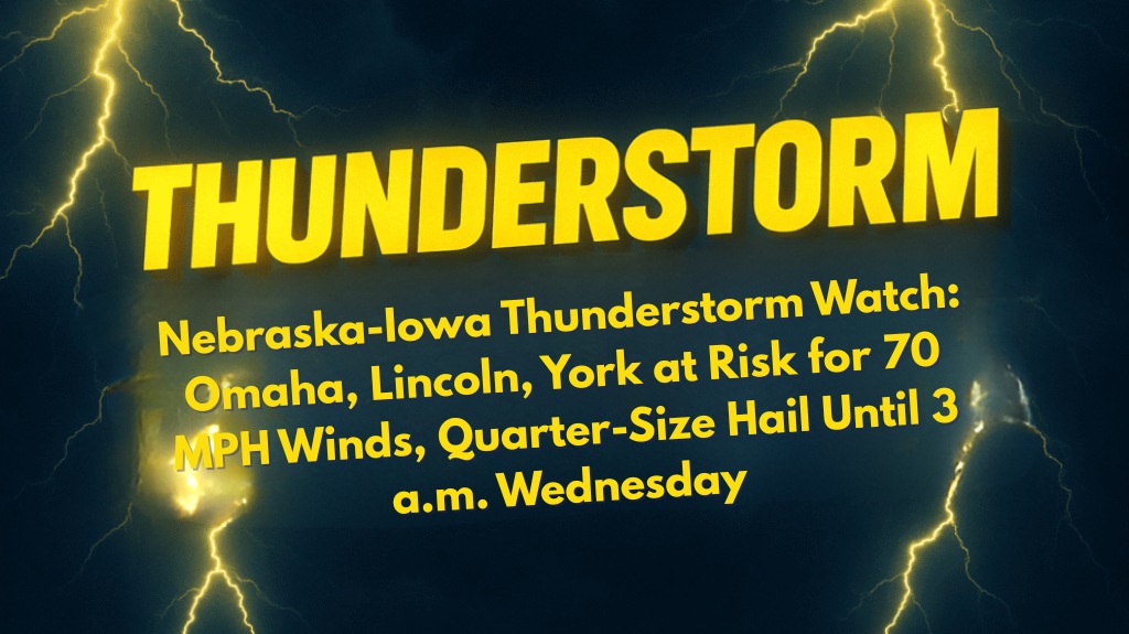
Omaha, Nebraska – Residents across eastern Nebraska are urged to prepare for intense thunderstorms tonight, packing quarter-size hail, wind gusts up to 70 mph, and frequent lightning. A Severe Thunderstorm Watch remains in effect until 3 a.m. Wednesday.
According to the National Weather Service in Hastings, the watch covers major cities including Omaha, Lincoln, York, Blair, Beatrice, and extends into southeast South Dakota and northwest Iowa.
Over 1.7 million people, 787 schools, and 77 hospitals are within the risk area. Isolated hail and scattered damaging winds are possible, with the greatest impacts expected along highways I-80, I-29, and U.S. 81.
Areas Affected and Safety Tips
Travelers are urged to avoid non-essential driving overnight, especially on rural stretches where downed branches or debris may block roadways. Residents are advised to secure outdoor items, charge cell phones, and know the location of their nearest storm shelter.
Omaha Public Power District and Lincoln Electric System crews are on alert for potential power outages. Previous July storms have caused widespread tree damage and scattered blackouts in the region.
The Severe Thunderstorm Watch will remain in effect until 3 a.m. Wednesday, with additional advisories possible if storms persist or intensify. Stay tuned to local weather updates and be ready to take action if warnings are issued.


