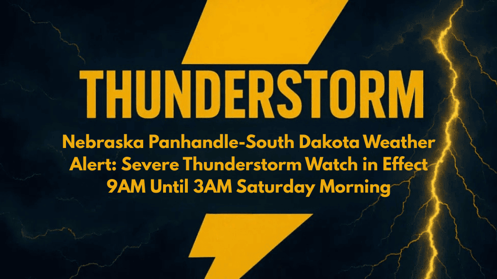
Rapid City, S.D. – A Severe Thunderstorm Watch is in effect across western and central South Dakota, as well as the Nebraska Panhandle, from 9 AM until 3 AM Saturday. Strong thunderstorms are expected to develop overnight, bringing potential hazards including damaging wind gusts, large hail, and frequent lightning. The National Weather Service (NWS) Storm Prediction Center issued the alert, with concerns about travel disruptions and severe weather conditions through the night.
Affected Areas
The Severe Thunderstorm Watch spans across several counties in South Dakota and Nebraska. Affected regions include:
South Dakota:
Pennington
Meade
Lyman
Hughes
Jones
Todd
Tripp
Oglala Lakota
And other surrounding areas.
Nebraska:
Cherry County
Sheridan County
Weather Threats
The storms are expected to develop overnight, creating a significant risk of:
Damaging Wind Gusts: Winds exceeding 60 mph could cause property damage and hazardous conditions.
Large Hail: The storms could produce hail large enough to damage vehicles, crops, and roofs.
Frequent Lightning: Lightning strikes pose a risk of fires and electrical outages.
Travel Impacts
Motorists are advised to be cautious on the roads, as the weather conditions could change rapidly:
Interstate 90 (I-90): Drivers traveling near Rapid City and east toward Chamberlain may encounter torrential downpours and reduced visibility, making driving dangerous.
Nebraska Highways: Travel along highways near Valentine and Gordon could also be affected as the storms move eastward throughout the night.
Safety Precautions
Residents in affected areas are urged to take the following precautions:
Secure Outdoor Items: Wind gusts could turn unsecured objects into hazards.
Avoid Travel During Severe Weather: If possible, stay off the roads to avoid encountering dangerous conditions.
Stay Indoors: Seek shelter inside and avoid windows during the storms.
Prepare for Power Outages: Ensure that your phone is fully charged, and have backup lighting available in case of electrical disruptions.
Outlook and Additional Alerts
The Severe Thunderstorm Watch is valid until 3 AM on Saturday, with the potential for additional advisories if the storms continue into the morning hours. Residents should stay updated on the latest weather information and be prepared for rapid changes in conditions.


