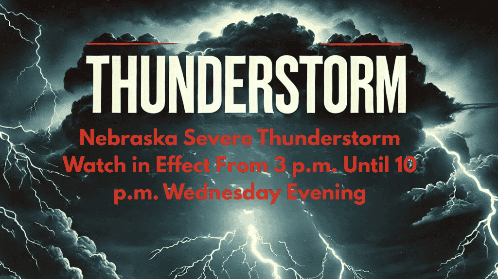
Alliance, NE – A Severe Thunderstorm Watch has been issued for portions of western and north-central Nebraska, in effect from 3 p.m. until 10 p.m. MDT Wednesday. The National Weather Service is urging residents in the affected areas to stay alert and monitor rapidly changing weather conditions as storms are expected to develop throughout the afternoon and evening.
Severe Thunderstorm Watch Issued for Multiple Counties
The National Weather Service has issued Severe Thunderstorm Watch No. 588 for the following counties:
Box Butte
Boyd
Brown
Cherry
Dawes
Holt
Keya Paha
Rock
Sheridan
Sioux
According to the Storm Prediction Center in Norman, Oklahoma, severe storms are expected to develop along a cold front moving through the northern Plains. These storms could bring significant hazards including:
Wind gusts exceeding 60 mph
Large hail
Frequent lightning
Potential for Intense Storms and Isolated Tornadoes
Weather officials warn that storms may intensify quickly throughout the day and into the evening, with the possibility of isolated tornadoes. The threat for severe weather could escalate, and residents are urged to be prepared for sudden changes in conditions.
Safety Precautions and Recommendations
For safety, residents in the affected counties should:
Secure outdoor objects that could become dangerous projectiles in strong winds
Stay indoors during storms to avoid the risks of flying debris and lightning strikes
Have multiple ways to receive weather alerts, such as a battery-powered weather radio, mobile device, or NOAA Weather Radio
Travelers through the region should be prepared for:
Sudden downpours that could reduce visibility
Hail-covered roadways, making travel hazardous
Understanding the Difference Between Watches and Warnings
It’s important to note that a Severe Thunderstorm Watch means conditions are favorable for severe weather to develop, while a Severe Thunderstorm Warning would indicate that severe weather is imminent or already occurring. Residents should remain alert for any warnings that may be issued later in the day.
Stay Alert and Be Prepared
The Severe Thunderstorm Watch will remain in effect until 10 p.m. MDT, after which weather conditions will be reassessed. The public is urged to stay informed and ready to act if warnings are issued later this evening.


