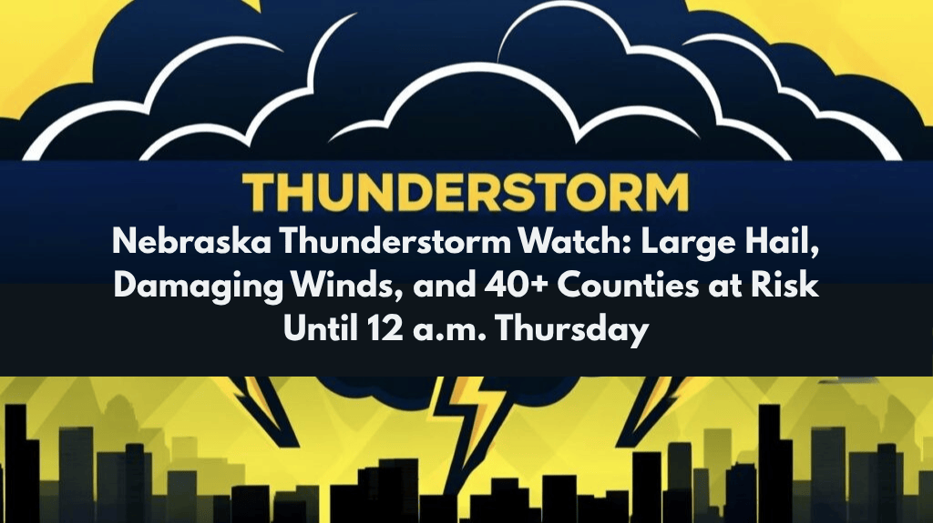
Lincoln, Nebraska – Severe thunderstorms are sweeping across Nebraska this evening, with 40+ counties under a Severe Thunderstorm Watch until midnight. The storms are expected to bring high winds up to 70 mph, large hail, and torrential rain, posing significant risks to travel, utilities, and safety.
Storm Risks and Areas Affected
The National Weather Service’s Storm Prediction Center has issued the watch for areas including Adams, Buffalo, Hall, Lincoln, Platte, and other counties across central and eastern Nebraska. The severe weather is expected to affect communities from Grand Island to Norfolk and York. The threats include:
Wind gusts up to 70 mph, capable of causing downed trees and power outages.
Large hail, with some areas experiencing hail as big as golf balls.
Torrential rain leading to localized flooding, especially along I-80 and U.S. Highway 81.
Precautions and Safety
As fast-moving storms move across the state, emergency managers are advising residents to:
Seek sturdy shelter immediately as the storms approach.
Avoid travel due to low visibility, downed trees, and flooded roadways. If you are driving, pull over in a safe area until the storm passes.
Charge electronic devices in case of power outages.
Stay updated with local weather alerts to stay informed of any additional warnings or updates.
Communities like Hastings, Kearney, and Columbus may experience brief but intense periods of hail, blinding rain, and dangerous lightning through the night.
Broader Impact and Potential for Extended Disruptions
This is Nebraska’s most widespread severe weather event of July, with impacts stretching from the Kansas border to Antelope and Holt counties. Past summer storms in similar areas have led to multi-hour power outages and road closures, so residents are urged to be prepared for any disruptions.


