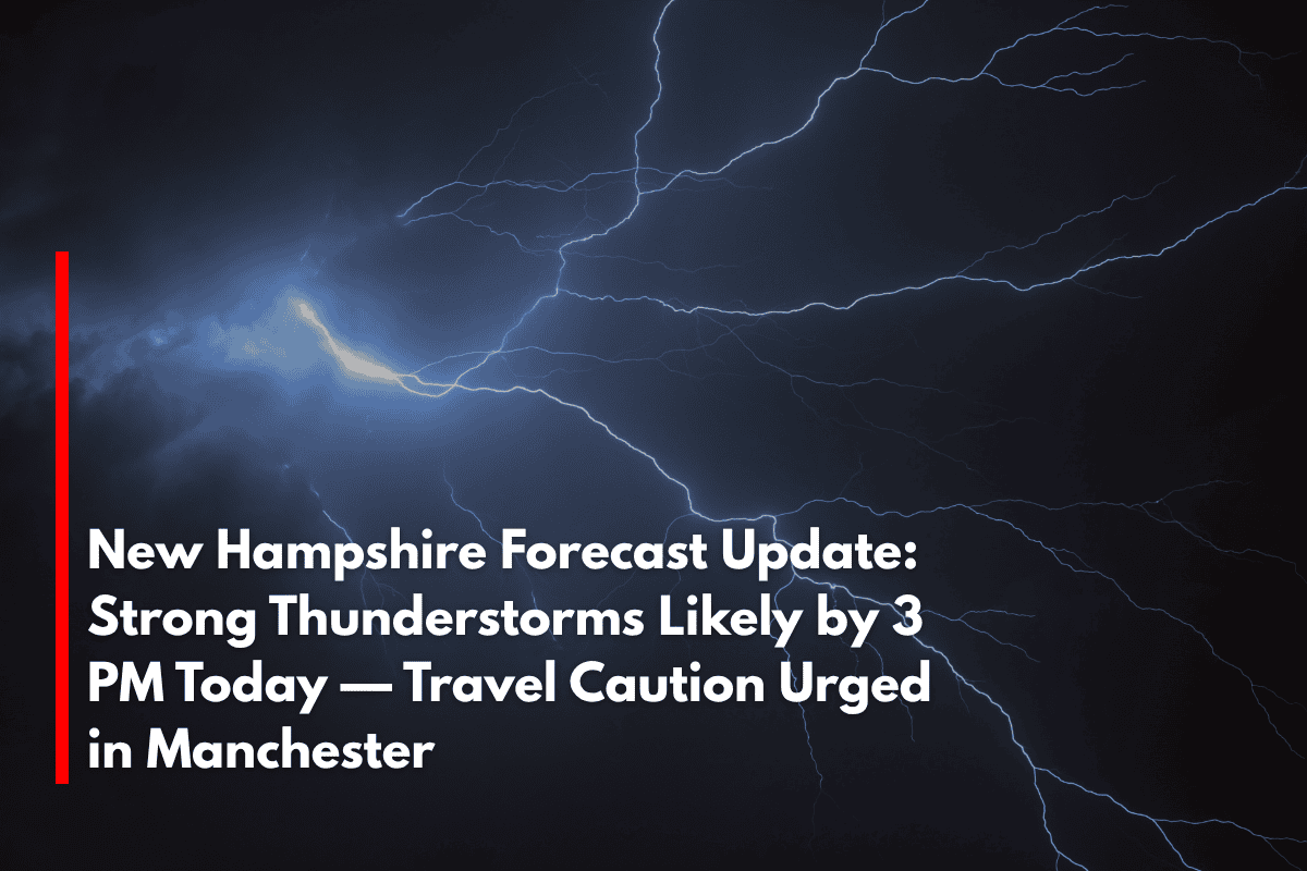
Manchester, N.H. – Severe thunderstorms are expected to move into southern New Hampshire by 3 p.m. today, bringing hail, strong winds, and lightning during peak afternoon travel, particularly in Manchester.
According to the National Weather Service in Gray, Maine, scattered thunderstorms could intensify in parts of Hillsborough, Merrimack, and Rockingham counties.
Damaging wind gusts and hail are possible through the early evening. Drivers on I-293, NH Route 101, and local Manchester roads should prepare for sudden downpours and poor visibility.
While the July 4th holiday on Friday is expected to be clear and sunny with highs near 81°F, today’s storm risk is the primary concern. Light northwest winds up to 10 mph with gusts near 20 mph are expected throughout the holiday. Storm chances will return again Monday night, with rain likely across the region.
Weekend Summer Weather Outlook:
Saturday: Mostly sunny with a high of 86°F — ideal for outdoor plans.
Sunday: Mostly sunny and hot, with temperatures pushing 94°F. Heat safety precautions are advised.
Monday: A 30% chance of showers and storms develops late, with highs near 85°F.
Tuesday: A slight thunderstorm chance continues, with partly sunny skies and a high near 83°F.
What’s Next:
Spotter activation may be needed today. Another update will follow if watches or warnings are issued. Stay weather aware and monitor official alerts.
🔍 Five-Day Forecast (Friday, July 4 – Tuesday, July 9)
| Day | Weather | High Temperature | Additional Information |
|---|---|---|---|
| Friday (Independence Day) | Sunny, breezy with gusts to 20 mph | 81°F | – |
| Saturday | Mostly sunny | 86°F | – |
| Sunday | Mostly sunny and hot | 94°F | – |
| Monday | 30% chance of storms after 2 p.m. | 85°F | – |
| Tuesday | Partly sunny, chance of storms continues | 83°F | – |
Be prepared for afternoon storms today and stay updated on the forecast for any changes!


