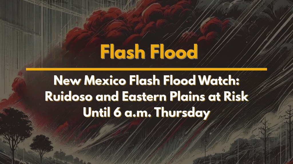
Albuquerque, N.M. – A major weather concern remains over eastern New Mexico tonight, with flash floods expected to affect areas like Ruidoso, Roswell, and the eastern plains. A Flash Flood Watch has been issued until 6 a.m. Thursday, warning residents about the potential for severe flooding caused by heavy rainfall.
Areas Under the Flash Flood Watch
The Flash Flood Watch covers Ruidoso, Roswell, and the surrounding eastern plains. According to the National Weather Service in Albuquerque, tonight’s storms could bring up to 1 to 2 inches of rain per hour. These storms are expected to be slow-moving, which increases the risk of debris flows, particularly in areas affected by wildfires.
For example, Ruidoso, located near burn scar zones, faces a higher risk for these dangerous debris flows. In addition to the heavy rain, areas like Clovis, Tucumcari, Fort Sumner, and Roswell should prepare for gusty winds of up to 50 mph, along with lightning.
Hazards of Flash Flooding
The biggest concern tonight is flash flooding, which is more likely in elevated terrains and burn-scarred lands. This type of flooding can cause rapid runoff, leading to dangerous travel conditions, especially in areas like U.S. 70 near Ruidoso and nearby roads.
Residents in flood-prone areas should take caution and avoid driving through water-covered roads. It is also recommended to stay alert for local alerts throughout the night, charge your mobile devices, and be ready for possible shelter-in-place situations.
When Will the Threat End?
The Flash Flood Watch will be in effect until 6 a.m. Thursday. After Thursday, the storm risk will decrease slightly, but isolated storms are still expected on Friday. The weekend should bring lighter weather conditions, but moisture will return early next week, leading to renewed storm activity.
Five-Day Forecast for Central & Eastern New Mexico
Thursday: 60–70% chance of storms, with the risk of flash flooding; highs in the 80s
Friday: 30–60% chance of scattered storms; breezy; highs in the mid-80s
Saturday: 10–20% chance of isolated storms, especially in high terrain
Sunday: Mostly dry with less than a 10% chance of rain
Monday: Storms return to high terrain with a 20–30% chance of late-day rain
Stay Safe During Flash Flooding
It is important for residents of the affected areas to remain vigilant and prepared. Flash floods can happen suddenly, and it’s essential to follow all safety guidelines issued by local authorities. If you live in flood-prone areas, make sure you have a plan for evacuation if necessary, and avoid driving through flooded roads at all costs.
As the storm season continues, it’s crucial to stay updated on weather alerts and take precautions to protect yourself and your property.
