Albuquerque, N.M. – On Friday, slow-moving thunderstorms are expected to bring dangerous flash flooding across central and western New Mexico, especially in areas affected by recent wildfires.
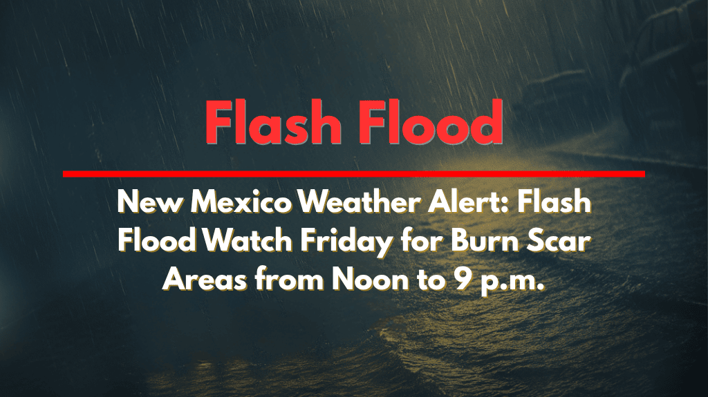
The National Weather Service in Albuquerque has issued a Flash Flood Watch from noon to 9 p.m. MDT on Friday, warning of the potential for rainfall rates of 1.0 to 2.0 inches per hour. This risk is particularly high over higher terrain, with storms eventually moving into lower elevations.
Recent wildfire burn scars are especially vulnerable to flooding due to reduced soil absorption, which can lead to rapid runoff into dry arroyos and low-lying areas.
Cities like Albuquerque, Santa Fe, Socorro, Grants, and Gallup are at risk of experiencing heavy downpours, gusty winds, lightning, and even small hail, especially during the afternoon and evening hours.
What You Need to Know:
Flash Flood Watch is in effect from noon to 9 p.m. MDT on Friday.
Rainfall rates of 1.0 to 2.0 inches per hour are possible.
Burn scar zones face increased risk of flooding due to poor soil absorption.
Hazardous conditions are expected on roads such as US 550, I-40, and rural routes.
Travel may be dangerous due to rapidly rising water and poor visibility.
Evacuation readiness is advised for residents near burn scar zones.
Weekend Forecast:
Saturday: Scattered afternoon and evening storms, localized flooding, highs in the mid-80s.
Sunday: More storms expected, especially in the western parts of the state, with highs in the low 80s.
Monday: A drier trend begins, with isolated storms, highs in the upper 80s.
Tuesday: Mostly sunny and warmer, highs near 90°F.
Action Plan:
Stay weather-aware and keep an eye on local alerts.
Be prepared to evacuate quickly if you’re near burn scar areas.
Avoid driving in areas with heavy rainfall or flooded roads.
Check your area’s flash flood risk, and plan accordingly.
Flash floods can develop rapidly, so it’s crucial to stay informed and take necessary precautions throughout the weekend.


