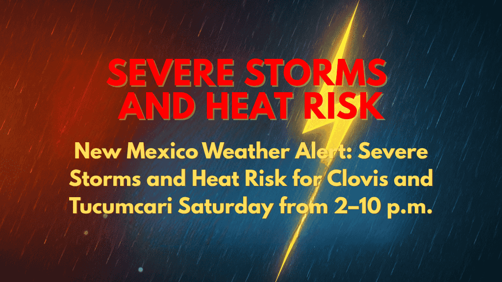
Clovis, New Mexico – Severe thunderstorms could disrupt travel and outdoor plans across eastern New Mexico on Saturday, from 2 p.m. to 10 p.m., with damaging winds and large hail expected near Clovis, Tucumcari, and Clayton.
According to the National Weather Service in Albuquerque, a Marginal Risk for severe storms covers the eastern third of the state. Storms are likely to develop along the Texas border Saturday afternoon, moving westward into areas like Santa Rosa and Las Vegas by the evening. Potential hazards include cloud-to-ground lightning, gusty winds over 50 mph, and small hail.
In addition to storms, temperatures are expected to soar into the upper 90s and low 100s across central and western New Mexico next week, with Roswell predicted to reach 103°F by Friday. These extreme heat conditions may increase the risk of heat-related illnesses and high UV index, especially during the hottest hours between 1 p.m. and 7 p.m.
The chances for storms will continue through Sunday and into next week, with a 30–60% daily rain chance in cities like Albuquerque, Santa Fe, and Socorro. Residents should be prepared for afternoon storms and the possibility of localized flash flooding, especially in areas with burn scars or poor drainage.
⚠️ Severe weather alerts may be issued. Stay updated by checking weather.gov/abq for the latest information.


