Residents of Central New York and Northeast Pennsylvania should be prepared for possible flash flooding on Tuesday morning, as heavy rain continues to fall. The rainfall, which started overnight, could lead to flooding in low-lying areas, creeks, and streets due to runoff.
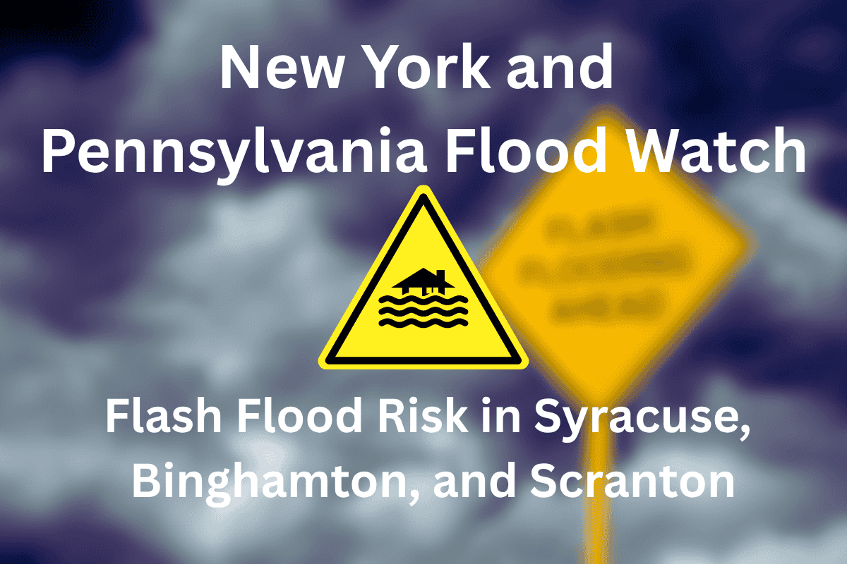
Flood Watch in Effect for 18 Counties
A Flood Watch has been issued by the National Weather Service in Binghamton for 18 counties, including Onondaga, Broome, Tioga, Steuben, and Luzerne, lasting until 11 a.m. Tuesday. Areas like Syracuse, Binghamton, Elmira, and Scranton are particularly at risk, as the rain could overwhelm storm drains and small waterways. Urban areas are especially vulnerable due to the likelihood of drainage systems becoming clogged.
Areas at Risk of Localized Flooding
The Chemung River and its tributaries, located in Tompkins, Schuyler, and Yates counties, are of concern. Flooding is possible along Route 17, I-81, and rural roads around Sayre and Montrose, where the ground is already saturated, increasing the risk of runoff. These areas are urged to stay alert for further developments.
What to Do in Case of Flooding
Emergency officials are advising people to avoid flooded roads. It’s crucial to stay safe and steer clear of any water-covered streets, as even a small amount of water can be dangerous. Residents should also charge their phones and be prepared for possible evacuations if necessary. This system is pulling tropical moisture from the south, and its effects could resemble the major flooding events seen in June 2021 and 2013.
Improving Conditions Expected by Late Tuesday Morning
The heavy rain and flooding conditions are expected to improve by late Tuesday morning. However, if rainfall intensifies, additional warnings may be issued overnight. It’s important for residents to stay updated with weather reports throughout the night and into the morning.


