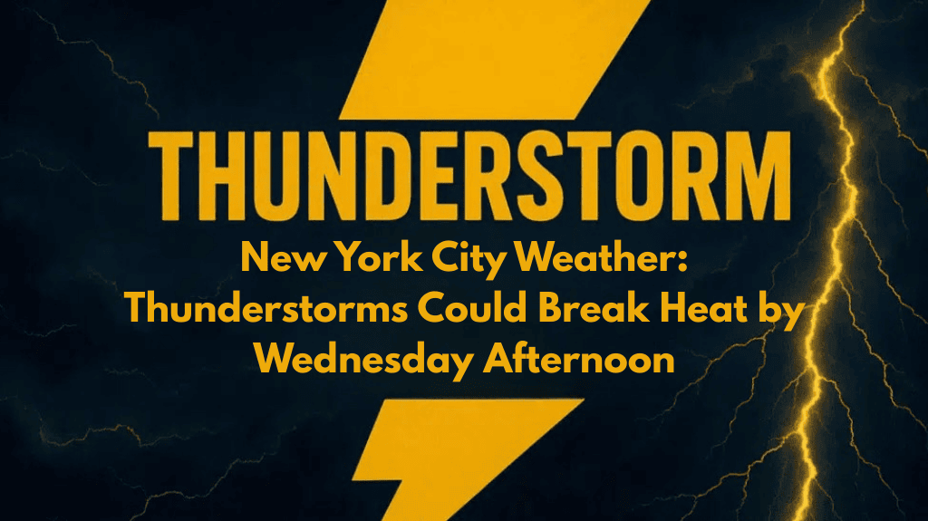
New York, NY – After a stretch of dry weather, New York City is set to experience a shift in conditions on Wednesday. A sunny start to the day will give way to showers and thunderstorms, bringing an end to the recent heat wave.
Hot Temperatures Ahead of the Storms
Temperatures are expected to climb into the upper 80s and lower 90s by the afternoon, with some areas, particularly in northern New Jersey, the Hudson Valley, and interior Connecticut, potentially experiencing the highest readings. These conditions will contribute to the development of storms later in the day.
Winds and Storm Development
According to the National Weather Service in New York, south to southwest winds of 10 to 15 mph will help fuel the instability that could trigger thunderstorms. Gusts could reach up to 20 mph, further aiding storm development. As a result, residents can expect showers and thunderstorms to roll in during the afternoon, continuing into the evening.
Impact on Travel and Localized Flooding
The highest chances of rain will occur from mid-afternoon through the evening commute, which could disrupt travel across major routes like I-95, the Long Island Expressway, and the approaches to the George Washington Bridge. Localized downpours could cause brief street flooding, particularly in low-lying areas where storm drains are clogged with debris.
Lightning and Outdoor Safety
In addition to heavy rainfall, thunderstorms will bring the risk of lightning, posing a hazard for outdoor activities and events. Those planning to participate in outdoor sports or attend gatherings should be aware that storms are expected to become more frequent after 3 p.m.
Stay Prepared and Stay Informed
Residents are urged to monitor the weather and be ready to seek shelter if storms approach. Conditions may remain unsettled into early Thursday, but clearing is expected after that, bringing a return of more favorable weather.


