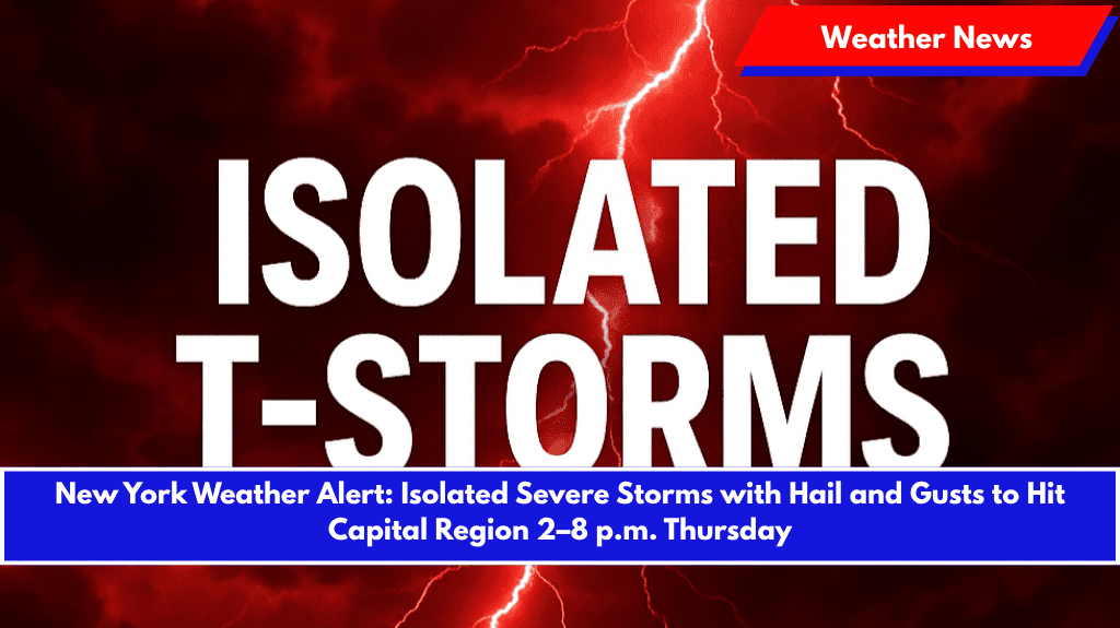
Albany, N.Y. – Damaging winds and large hail are expected to sweep across eastern New York and western New England Thursday afternoon as isolated severe thunderstorms develop along a cold front.
According to the National Weather Service in Albany, the storms are most likely between 2 p.m. and 8 p.m. Thursday, affecting the Capital Region, Berkshires, eastern Catskills, and parts of Vermont and western Massachusetts. The NWS has issued a Marginal Risk (Level 1 of 5) for severe weather, warning residents to be prepared.
Severe Weather Details
- Wind Gusts: Strong wind gusts up to 58 mph could cause damage to trees and power lines.
- Hail: Hail of at least 1 inch in diameter may accompany the storms.
- Heavy Rain: Localized downpours, along with the potential for brief flooding in poorly drained areas.
- Lightning: Frequent lightning will also pose a threat, even outside the heaviest rain.
Potential Impact
- Power Outages: Damaging winds and fallen trees could cause power outages, especially along major routes like I-87, Route 7, and the Mass Pike.
- Traffic Delays: Storms may disrupt evening commutes, so travelers should be prepared for delays or detours.
Safety Tips
- Secure Loose Items: Bring any outdoor furniture or decorations inside to prevent them from being blown away.
- Charge Devices: Ensure your phone and other important devices are charged in case of power outages.
- Seek Shelter: If you hear thunder, head indoors. Lightning is a significant danger, even in areas outside the heaviest rainfall.
Looking Ahead
Severe weather risks will taper off by Thursday night, but the National Weather Service will issue another update by 6 a.m. Friday if needed.


