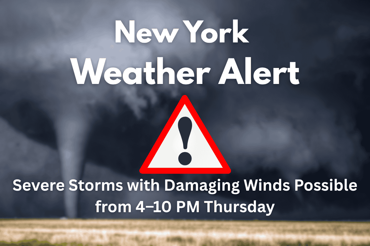
Severe thunderstorms are expected to impact the Tri-State area this Thursday, with the possibility of damaging winds, heavy rain, and isolated tornadoes between 4 and 10 p.m. The National Weather Service has issued an alert for the region, warning of strong storms that could disrupt evening plans and create hazardous conditions. If you’re in New York, Newark, Stamford, White Plains, or Paterson, it’s important to stay prepared and stay updated on the weather situation.
Storms Expected to Hit the Tri-State Area
The storm system is forecast to develop late in the afternoon and move eastward, with its effects likely to reach peak intensity during the evening commute. The primary threat includes wind gusts that could cause significant damage, including downed trees and power lines.
In addition, the region faces the risk of large hail and brief tornadoes in some areas. The National Weather Service has assigned a Level 2 out of 5 risk for severe weather to the region, which highlights the potential for dangerous conditions.
Cities at Risk and Potential Impact
Major cities including New York, Newark, Stamford, White Plains, and Paterson should be prepared for fast-moving storms that could impact the evening commute. The risk of localized flooding is high, especially where heavy downpours continue for extended periods.
Outdoor plans should be postponed, and drivers are encouraged to either delay travel or proceed with caution, particularly during peak storm hours.
Stay Prepared and Be Weather-Aware
Given the severity of the forecast, it’s essential for residents to stay weather-aware throughout the day. Make sure you have multiple ways to receive weather warnings, such as through apps or local broadcasts.
If storms approach your area, be ready to take shelter quickly, especially if you experience high winds or sudden changes in weather conditions. Schools, evening activities, and public events might be affected, so stay tuned for updates on closures or delays.
Warnings and Alerts Could Be Issued at Any Time
Severe weather can change rapidly, so be ready for any additional watches or warnings that may be issued with little notice. While the threat is expected to ease by Thursday night, alerts remain in effect until conditions improve. It’s important to stay vigilant as the storms move through the area.
If you’re in the Tri-State area on Thursday, be prepared for severe weather, especially between 4 and 10 p.m. Damaging winds, heavy rain, and the risk of isolated tornadoes are all part of the forecast.
Make sure to stay updated, avoid outdoor activities, and plan ahead to ensure your safety. With the possibility of flooding and significant disruptions to the evening commute, it’s best to be cautious and stay informed throughout the storm.


