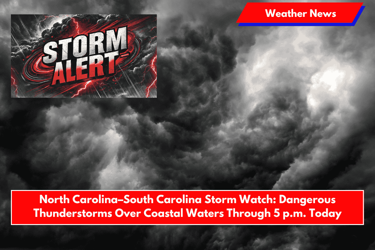
Charleston, S.C. – Coastal residents and boaters from Myrtle Beach to Savannah are being warned to brace for intense thunderstorms Sunday, as a Severe Thunderstorm Watch remains in effect until 5 p.m. EDT.
The National Weather Service’s Storm Prediction Center issued Watch #390 at 11:25 a.m. EDT, which affects key marine zones and Charleston Harbor.
The watch covers nearshore waters extending 20 nautical miles out, from Surf City, North Carolina, to Savannah, Georgia, including areas around Cape Fear, Little River Inlet, and Edisto Beach.
Storm Threat for Coastal Waters and Marine Areas
Residents and marine operators are urged to prepare for hazardous conditions, including damaging winds, frequent lightning, and brief heavy downpours.
Boaters in Charleston, Hilton Head, and Myrtle Beach could experience rapidly changing wind direction and visibility, which could make boating extremely dangerous through late afternoon.
The National Weather Service advises delaying non-essential travel and securing loose items on vessels. Mariners should closely monitor NOAA Weather Radio for real-time updates and seek safe harbor if storms approach. Safety first—if you’re out on the water, ensure that you’re ready to seek shelter should conditions worsen.
Inland Areas Not Affected but Possible Shifts Westward
Although inland areas are not under the watch, the storm system may drift westward later today, bringing potential weather impacts to areas further inland. As of now, however, only coastal areas are at significant risk.
Storm Watch Active Until 5 p.m.
The current watch remains active until 5 p.m. Sunday. Further alerts may be issued if storm activity intensifies during the afternoon.


