Raleigh, N.C. – Sweltering summer heat is set to impact central North Carolina on Friday, with heat index values soaring up to 102° by mid-afternoon. The National Weather Service has issued a Heat Advisory until 7 p.m. Friday, warning that the combination of high temperatures and humidity could lead to heat-related illnesses if proper precautions are not taken.
What to Expect on Friday
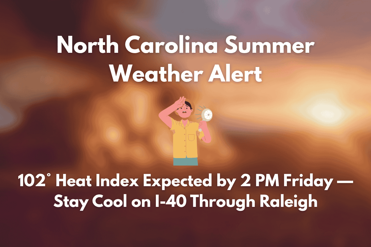
The advisory covers key cities such as Raleigh, Durham, Cary, Chapel Hill, and Wilson, with dangerously high temperatures expected between 11 a.m. and 7 p.m. The “feels-like” temperatures will be especially intense along the I-40 and I-85 corridors, with the heat index reaching 102° by 2 p.m.
Outdoor workers, athletes, and those without air conditioning are at the greatest risk. Health officials are advising residents to stay hydrated, wear light clothing, and avoid strenuous activity during the peak heat hours. If symptoms of heat exhaustion, such as dizziness or a rapid heartbeat, occur, medical attention should be sought immediately.
Friday’s Weather Details
Friday’s actual high temperature will reach around 94°F, with mostly sunny skies. However, afternoon storms may bring temporary relief from the heat, although humidity will remain oppressive into the evening.
Raleigh 5-Day Forecast (June 26–30)
| Day | Weather | High Temperature | Additional Information |
|---|---|---|---|
| Thursday (June 26) | Slight chance of storms after 2 p.m. | 96°F | Heat index up to 107°F |
| Friday (June 27) | 20% chance of late-day storms | 94°F | Heat index near 102°F |
| Saturday (June 28) | Partly sunny, isolated PM thunderstorms | 94°F | 30% chance of PM storms |
| Sunday (June 29) | Sunny and humid, 30% chance of PM storms | 95°F | – |
| Monday (June 30) | Storm chances increase to 40% in the afternoon | 92°F | – |
Looking Ahead
The weekend will see hot and sticky weather continuing, with limited storm relief. Storm chances will increase again on Monday and Tuesday, which could signal a wetter start to July. If you are attending outdoor events or traveling along major routes such as US-64 or NC-147, be sure to stay updated on the latest weather alerts to plan accordingly.


