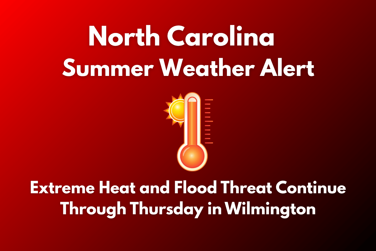
Wilmington, North Carolina, is facing a challenging weather situation this week, with extreme heat, flash flood risks, and severe storms expected to disrupt daily activities through Thursday. Temperatures are set to soar, and coastal flooding is also a concern for residents in the area.
Weather Warnings and Alerts
According to the National Weather Service in Wilmington, multiple weather warnings remain in effect across southeastern North Carolina through Thursday morning. These include an Excessive Heat Warning, a Severe Thunderstorm Watch, and a Coastal Flood Advisory.
Dangerous heat index values could reach as high as 114°F, and scattered severe storms are expected, potentially disrupting afternoon travel. Additionally, high tide flooding is anticipated along the Lower Cape Fear River, particularly around Market Street, tonight.
What to Expect
Temperatures on Thursday are expected to climb to 93°F, with heat index values exceeding 107°F before storms begin to develop after 2 p.m. The National Weather Service has warned of strong wind gusts, heavy rainfall, and lightning through Thursday evening.
Residents should limit outdoor activities, stay hydrated, and never leave children or pets in vehicles, as the combination of extreme heat and storms can create dangerous conditions.
Coastal flooding remains a concern, particularly near downtown Wilmington, especially along Market Street, Water Street, and the U.S. North Carolina Railroad corridor.
High tide flooding could affect these areas between 9 p.m. Wednesday and 1 a.m. Thursday, with minor inundation expected in low-lying regions.
Safety and Precautions
To stay safe during these hazardous conditions, residents should avoid non-essential travel, especially during storm periods. It’s also important to check weather forecasts frequently and stay updated on local weather alerts, as conditions can change rapidly.
Be prepared for potential power disruptions as storms may cause tree damage and downed power lines. Make sure to stay hydrated and avoid being outside for extended periods during the heat of the afternoon.
Looking Ahead
If the heat and storm patterns persist, warnings may be extended into Friday. Another surge of afternoon storms is also expected on Friday and Sunday.
Wilmington 5-Day Summer Weather Forecast (June 25–30)
On Wednesday, temperatures are expected to reach 97°F, with a heat index up to 107°F. Afternoon storms are possible with a 30% chance. On Thursday, temperatures will be around 93°F, with storms expected after 2 p.m. and a 30% chance of rain.
Friday will bring a high of 91°F, mostly sunny conditions, and a 20% chance of afternoon storms. Saturday will be sunny and dry with a high of 91°F, and Sunday will see a high of 92°F, with a 30% chance of late-afternoon storms and warm, humid conditions.
Wilmington is facing a triple-weather threat of extreme heat, stormy conditions, and coastal flooding, with dangerous weather continuing through Thursday morning. Residents should stay indoors when possible, stay hydrated, and prepare for potential power outages and flooding. Stay informed through local alerts to ensure you are aware of any changes in weather conditions.


