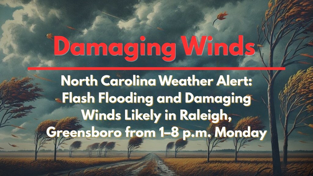
Raleigh, North Carolina – The northern Piedmont region of North Carolina, including cities like Raleigh, Greensboro, Durham, and Burlington, is expected to face urban flash flooding and isolated damaging winds from 1 p.m. to 8 p.m. Monday as slow-moving thunderstorms develop.
According to the National Weather Service in Raleigh, there is a Marginal to Slight Risk (Level 1–2 of 4) for flash flooding through tonight. The greatest impacts are expected in urban areas, where storms may “train” or repeatedly move over the same spots, leading to significantly increased rainfall totals in a short period.
Weather Hazards and Timing
The storms are expected to be most active during the late afternoon and early evening hours, potentially dumping 1–2 inches of rain per hour in localized spots. This intense rainfall could cause localized street flooding, overwhelmed storm drains, and brief power outages. Wind gusts could reach 40–50 mph, potentially knocking down tree limbs and causing scattered utility disruptions.
Safety Tips and Warnings
Avoid low-lying roads and never attempt to cross flooded intersections. Flash flooding can occur rapidly, especially in urban areas.
Residents should charge their phones and stay updated on flash flood alerts throughout the day.
The storms may continue overnight, and updated advisories may be issued as conditions evolve, so it’s important to stay informed.
Additional Storms Expected
Even after the 1–8 p.m. window, additional storms remain possible overnight, with more rain and the potential for further flooding. Stay alert to updated weather advisories throughout the evening.


