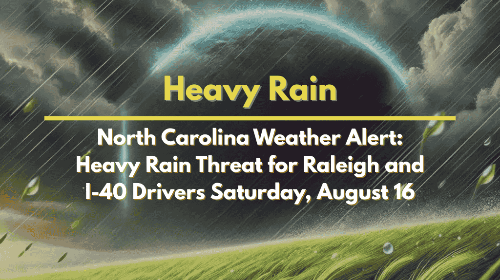
People across central North Carolina, especially drivers, need to prepare for a wet and stormy Saturday, August 16. Slow-moving thunderstorms could bring heavy downpours that lead to flash flooding, particularly along busy routes like I-40 and I-85. If you’re planning to travel or attend outdoor events this weekend, it’s important to stay alert and weather-ready.
Storms to Hit After 2 PM Saturday
According to the National Weather Service in Raleigh, Saturday will start off warm and mostly dry. But after 2 p.m., unstable air in the region could spark strong thunderstorms that dump a lot of rain in a short time. These storms will likely affect Wake, Durham, and Orange counties the most.
Here’s what to expect from Saturday afternoon:
Torrential rain falling in under an hour
Flash flooding, especially in low-lying areas or places with poor drainage
Dangerous driving conditions on major highways
Frequent lightning during thunderstorms
The combination of slow-moving storms and already humid air means water could build up quickly, turning roads into hazard zones in just minutes.
Safety Tips for Saturday Travel
If you must be on the road or outside during Saturday afternoon and evening, keep these safety tips in mind:
Never drive through flooded roads – just a few inches of water can cause your vehicle to lose control.
Turn headlights on during heavy rain for better visibility.
Stay updated with weather alerts on your phone or radio.
Check your route before leaving, especially if you’re near flood-prone areas.
Reschedule outdoor events if they fall during the storm window.
Friday Night: Muggy and Cloudy with Light Showers
On Friday night, conditions will remain humid and partly cloudy, with scattered light showers across the region. While most areas will stay dry, it’ll feel sticky and uncomfortable outside.
Storms Clear Out by Sunday
The good news? The storm system is expected to move out by Sunday. Clear skies and sunny weather will return, with temperatures rising close to 90°F. The heat will stick around into early next week, and although the rain chances drop, the humidity will keep nights feeling warm and muggy.
Five-Day Weather Outlook for Raleigh, N.C.
| Day | Forecast | High Temp |
|---|---|---|
| Saturday | Partly sunny, storms after 2 p.m. | 88°F |
| Sunday | Sunny and dry | 90°F |
| Monday | Sunny, warm, and clear skies | 91°F |
| Tuesday | Partly cloudy | 86°F |
| Wednesday | Chance of showers | 84°F |
Saturday will be the roughest weather day this week for central North Carolina. With flash flooding possible and heavy storms expected after 2 p.m., it’s important to plan ahead and stay updated on conditions. If you’re in Wake, Durham, or Orange counties, be especially cautious when driving and avoid flooded areas. After Saturday, the weather turns sunnier and hotter—just in time for a calmer start to the new week.


