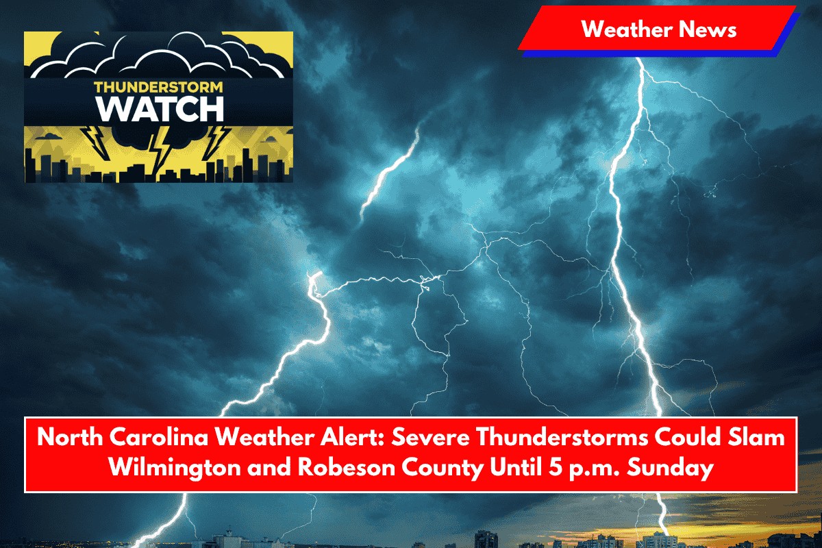
Wilmington, N.C. – A Severe Thunderstorm Watch is in effect for parts of southeastern North Carolina until 5 p.m. Sunday. Damaging winds and large hail are expected to threaten communities from Bladen County to the coast, with the highest risk between 1 p.m. and 4 p.m.
Severe Storm Watch for Southeastern North Carolina
The National Weather Service Storm Prediction Center issued Watch 390 at 11:25 a.m. today, affecting six counties: Brunswick, Columbus, New Hanover, Pender, and Robeson. Forecasters are warning that these storms could produce wind gusts of up to 60 mph and quarter-sized hail. Communities in these areas should be prepared for severe weather.
Impact on Travel and Outdoor Activities
Motorists traveling along U.S. 74, I-40, and coastal roads should be prepared for sudden downpours and dangerous lightning. In Wilmington and Leland, afternoon plans could be disrupted as storm cells track eastward. Emergency managers are urging residents to secure loose outdoor items and remain indoors during thunderstorm activity to stay safe.
Flash Flooding Risk in Low-Lying Areas
The system also brings a risk of isolated flash flooding, particularly in low-lying areas where heavy rain may persist over already saturated ground. The threat of flooding could intensify if storms bring heavy rain to already wet regions.
When to Expect Peak Storm Activity
The storms are expected to peak between 1 p.m. and 4 p.m., though conditions may vary depending on location. Residents are urged to stay informed as storm conditions could change rapidly throughout the day.
Stay Alert for Further Updates
Additional advisories may be issued as storms intensify. To stay safe, residents should monitor NOAA Weather Radio or local alerts for real-time updates and take immediate action if a warning is issued.


