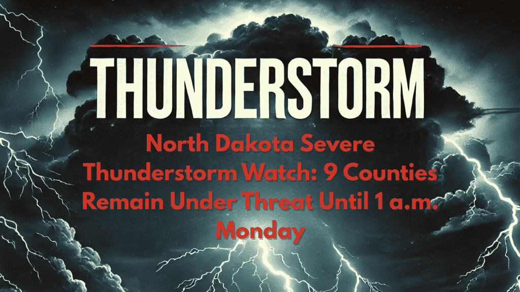
Bismarck, ND – Severe thunderstorms are expected to continue impacting large areas of western and central North Dakota this evening. The National Weather Service (NWS) has issued a severe thunderstorm watch that will remain in effect until 1 a.m. Monday, with hazardous weather including heavy rain, strong winds, and possible hail.
Affected Areas:
Counties Under Threat: McKenzie, Adams, Billings, Bowman, Dunn, Golden Valley, Hettinger, Slope, Stark, Grant, and Sioux counties.
Cities at Risk: Beach, Bowman, Dickinson, Watford City, and surrounding areas.
Hazardous Conditions:
Winds: Gusts up to 60 mph.
Hail: Large hail could damage vehicles, crops, and outdoor structures.
Heavy Rain: Likely to cause reduced visibility and possible flooding, especially on rural roads and highways.
Safety Tips:
Travel Caution: If you must travel, exercise extreme caution on rural roads and highways. Be mindful of reduced visibility due to heavy rain and blowing debris.
Outdoor Safety: Secure any outdoor structures or belongings to prevent damage from strong winds and hail.
Stay Informed: Keep an eye on local weather updates, as additional warnings or watches could be issued if conditions worsen.
The severe thunderstorm watch remains in effect until 1 a.m. Monday. Stay alert to rapidly changing conditions and be prepared for possible disruptions to travel and outdoor activities.


