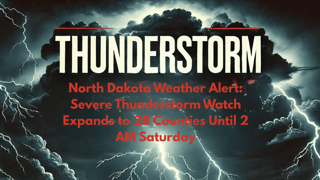
North Dakota is experiencing a severe weather alert tonight, with a severe thunderstorm watch now covering 28 counties. The warning includes areas like Bismarck, Minot, Williston, and Dickinson, and will stay in effect until 2 a.m. Saturday. As the storms intensify, residents should expect damaging winds, large hail, power outages, and possible road closures.
Affected Areas and Timing
The National Weather Service has issued the storm watch for counties from Bottineau and Ward in the north, all the way to Adams, Slope, and Stark in the southwest. The alert also affects key travel routes like I-94, Highway 83, and US-2, where the worst weather is expected between 10 p.m. and 2 a.m. tonight. Major cities like Mandan, Beulah, Bowman, and Rugby are also within the danger zone.
Risks and Safety Tips
As the storms roll in, residents should prepare for sudden heavy rains, possible hail, and rapid storm development. The National Weather Service warns that there is a high risk of property damage, including trees being downed or roof damage, due to strong winds and hail.
Emergency management teams are urging people to secure any outdoor objects, stay inside, and avoid unnecessary travel after dark. It’s a good idea to charge your mobile devices and have flashlights ready in case of power outages.
Travel and Road Conditions
For those planning to drive, it is critical to check ND Roads and stay updated on emergency alerts, especially if traveling in rural areas or places with low visibility. Strong winds, heavy rain, and sudden changes in road conditions could make travel dangerous. This storm system is similar to the severe weather that caused widespread power outages and travel disruptions across the region last July.
Be Prepared for Overnight Updates
The severe thunderstorm watch remains in effect until 2 a.m., with the National Weather Service expected to provide further updates if the weather conditions worsen or shift to the east. Stay tuned to local weather updates and emergency alerts to stay informed about the latest warnings.
This severe weather alert highlights the importance of being prepared during strong thunderstorms. With potential hazards like high winds, hail, and power outages, residents should stay informed, secure outdoor items, and avoid unnecessary travel. Always follow the advice of local authorities and keep an eye on weather updates to ensure safety.


