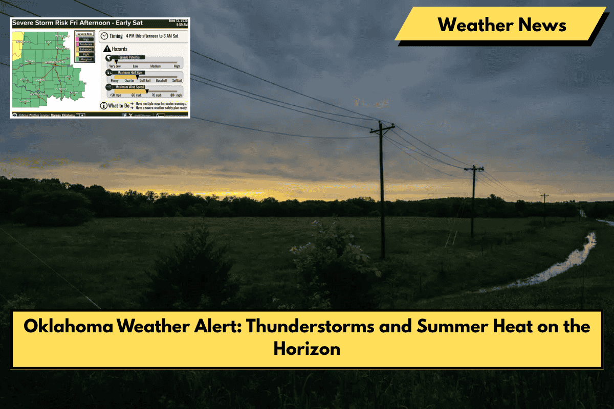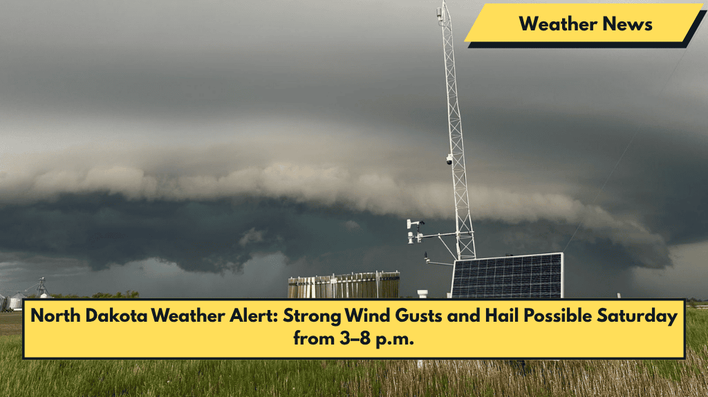
Grand Forks, N.D. – Isolated severe thunderstorms are expected to sweep through eastern North Dakota and northwest Minnesota on Saturday afternoon, bringing 60 mph wind gusts and pockets of hail up to 1 inch in diameter.
What to Expect: Storm Timing and Hazards
According to the National Weather Service (NWS) in Grand Forks, a cold front will arrive mid-afternoon on Saturday, triggering thunderstorms between 3 p.m. and 8 p.m.. While widespread severe weather is not expected, localized storms could produce damaging winds and scattered hail. The main hazard from these storms will be strong wind gusts and hail, with tornadoes unlikely.
Areas Impacted: Affected Communities
The storms may impact communities from Grand Forks to Valley City, extending into Crookston and Thief River Falls. Motorists traveling on U.S. Highway 2 and I-29 should secure loose items and be prepared for rapidly changing weather conditions. Outdoor events could face brief disruptions due to gusty winds or lightning.
What to Do: Stay Alert and Prepare
Residents are advised to monitor weather alerts and seek shelter indoors if severe weather warnings are issued. This is the first round of severe weather activity tied to an incoming cold front, which may bring additional storm chances throughout the weekend.
Strong winds and hail are expected to impact parts of eastern North Dakota and northwest Minnesota on Saturday afternoon. Stay informed and prepared for possible disruptions due to gusty winds and hail, and monitor weather alerts closely.