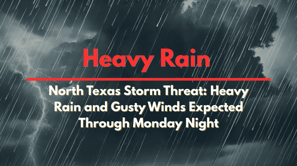
Dallas, Texas – North and Central Texas are facing scattered thunderstorms and rain throughout Monday, with some areas east of I-35 likely to experience heavy rain and localized flooding. This weather could disrupt outdoor activities as the storms roll in.
According to the US National Weather Service Fort Worth, a weather alert issued on Sunday, July 13, 2025, at 5:55 PM, indicates that the most significant storm activity is expected along and east of the I-35 corridor. While some areas will experience brief but intense downpours, others may miss out on the rain entirely.
Storm Hazards and Locations Affected
The primary concerns for this weather event include minor flooding, gusty winds, and frequent lightning. Cities such as Dallas, Fort Worth, Sherman, and Paris are at risk of being impacted by these storms. Waco and Killeen to the south could experience less widespread activity, with more isolated storms in those areas.
Drivers should exercise caution due to reduced visibility, which may occur rapidly, and be on the lookout for potential ponding on roadways. As Monday night approaches, the rain chances are expected to decrease gradually from west to east.
Precautions and Recommendations
Residents are urged to secure any loose outdoor items and stay prepared for sudden weather changes. Anyone with outdoor plans should have a backup strategy or consider rescheduling their activities to avoid getting caught in the storms.
Warnings are in effect through Monday, and it’s crucial to stay informed on local advisories, particularly for those planning to travel through the affected regions.
Stay updated on the latest weather reports and be ready to adapt as conditions change throughout the day.


