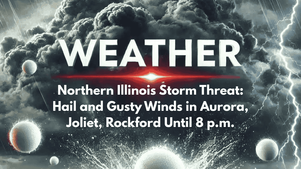
Severe thunderstorms are making their way across northern Illinois, with the potential for damaging weather in parts of the Chicago metro area until 8 p.m. Wednesday. Areas west of the Fox Valley, including Rockford, Ottawa, and Aurora, could experience strong winds and large hail as storms intensify.
What to Expect During the Storms
The National Weather Service in Chicago has warned that the most intense storms could bring hail large enough to dent vehicles and winds that may down tree limbs and power lines. Additionally, lightning and brief heavy rainfall are expected, which could lead to localized flash flooding, especially in low-lying areas.
Areas At Risk and Severe Threats
The greatest threat from these storms is focused between Rockford, Joliet, and the western suburbs of Chicago. Waukegan, Gary, and Watseka are also under a broader thunderstorm risk, but severe weather conditions may be more isolated in these regions. Residents in these areas should stay alert for rapidly changing weather conditions.
Safety Tips for Tonight’s Storms
Drivers should avoid the roads during heavy rainfall, as the combination of strong winds, hail, and downpours could make driving dangerous. Anyone hearing thunder should move indoors immediately to stay safe. It’s also important to keep mobile devices charged and ensure you have multiple ways to receive weather alerts in case of severe conditions.
Storm Timing and Movement
The storm system is moving east-northeast at 15 to 20 mph, so conditions could worsen quickly. Additional warnings or advisories may be issued if the storm intensifies or moves into new areas. Stay tuned to weather updates throughout the evening.


