Residents of northern Michigan should prepare for strong to severe thunderstorms expected to sweep through eastern Lower Michigan on Saturday afternoon. These storms, which could bring damaging winds, large hail, and heavy downpours, are most likely to affect areas from Alpena to Gladwin, particularly east of U.S. Route 131.
Severe Weather Threat on Saturday
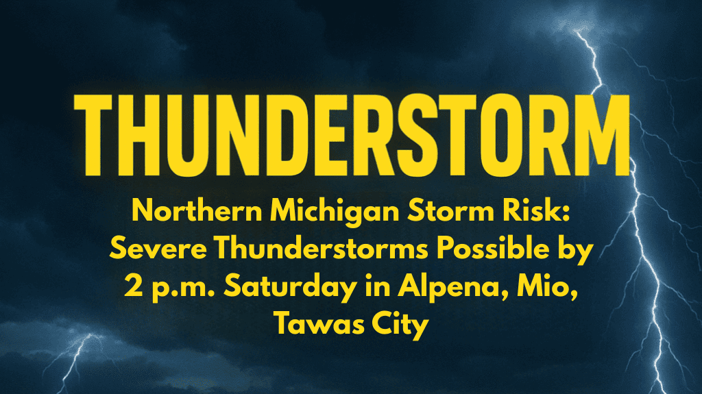
The National Weather Service in Gaylord has issued a Level 2 severe weather risk for parts of eastern Michigan on Saturday, July 12. The most intense weather is expected between early afternoon and evening, with storms developing after morning showers clear the area. The areas at greatest risk include Alpena, Mio, Roscommon, and Tawas City.
Although thunderstorms may begin earlier in the day, forecasters are uncertain whether the lingering morning rain will suppress the intensity of the storms. Regardless, residents in counties such as Iosco, Alcona, and Arenac should remain alert and stay updated on the latest weather information as conditions can change rapidly.
Risks to Expect
The most significant risks from these storms include winds exceeding 60 mph, particularly near the Saginaw Bay region. Additionally, large hail and heavy downpours are expected, which could lead to localized flooding. It’s important to be prepared for rapid changes in the weather, as storms can develop quickly and shift in intensity.
Residents are advised to secure outdoor items that could be blown away by strong winds. If severe weather warnings are issued, avoid unnecessary travel, stay indoors, and keep electronic devices charged in case of power outages.
Storms Likely to Continue Into the Night
Although the primary storm risk is expected during the afternoon and evening, chances for storms will linger into the night. People in affected areas should continue to monitor weather updates for any new warnings or advisories. For the most accurate and up-to-date information, residents can visit weather.gov/gaylord for alerts and further guidance.
5-Day Northern Michigan Forecast:
Saturday: High 75–85°F, severe thunderstorms possible in the afternoon, damaging winds and large hail expected
Sunday: High 70–80°F, cooler temperatures, clearing skies, calmer weather
Monday: High 75–80°F, mostly sunny, dry
Tuesday: High 80–85°F, slight chance of storms
Wednesday: High 75–80°F, mostly clear skies, no significant weather expected
Severe thunderstorms are likely to affect northern Michigan on Saturday afternoon, with areas like Alpena, Mio, and Tawas City at the highest risk. These storms could bring damaging winds, large hail, and heavy rainfall, possibly causing localized flooding.
Residents should stay alert and monitor weather updates, securing outdoor items and avoiding unnecessary travel during the storms. While the storms are expected to clear by the evening, conditions could change rapidly, so continue to stay informed throughout the day.


