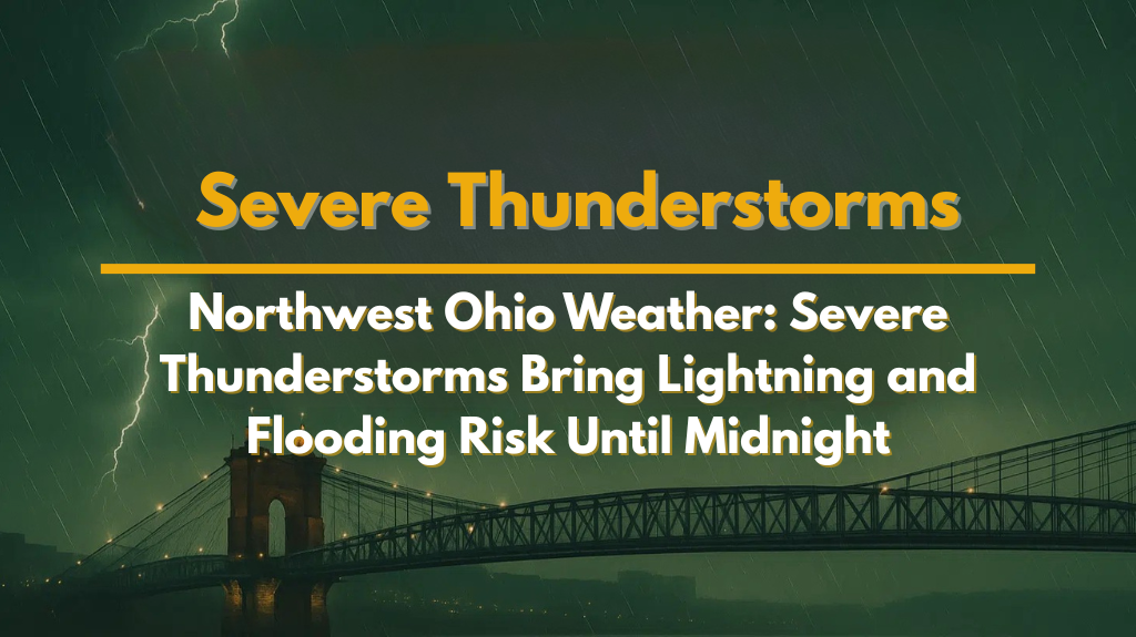
Cleveland, Ohio – Strong thunderstorms are moving east through Northwest Ohio on Wednesday night, bringing heavy rain, lightning, and the potential for damaging wind gusts and hail. The storms are expected to continue until midnight, posing a serious risk to residents in the region.
Areas Affected by Severe Thunderstorms
The National Weather Service in Cleveland reported that the storms began developing around 8:35 p.m., ahead of a squall line moving through western counties.
These storms are capable of producing pockets of strong activity that may cause isolated wind damage and large hail. Areas like Lima, Findlay, and Bowling Green could experience minor flooding due to high rainfall rates. Residents in low-lying areas should stay vigilant.
Risks and Hazards from Severe Weather
Drivers on major highways like I-75 and U.S. Route 30 should be prepared for rapidly changing conditions. Expect sudden heavy rain, potential whiteout conditions, pooling water, and the possibility of downed tree limbs. Additionally, power outages are possible if gusts exceed 50 mph. These storms are expected to weaken slowly as they move eastward towards Akron and Canton after 10 p.m.
What to Expect Overnight
While the storms should weaken as they move east, lightning will continue to be a hazard even after the rain subsides. Residents should remain cautious and stay updated on weather alerts. It’s advised to avoid travel in high-impact zones, especially in areas where flooding is more likely.
What’s Next for Northwest Ohio?
After tonight’s storms, showers may continue into early Thursday. There could be another round of storms later in the day. It’s important for residents to remain weather-aware and be prepared for possible additional storm activity.


