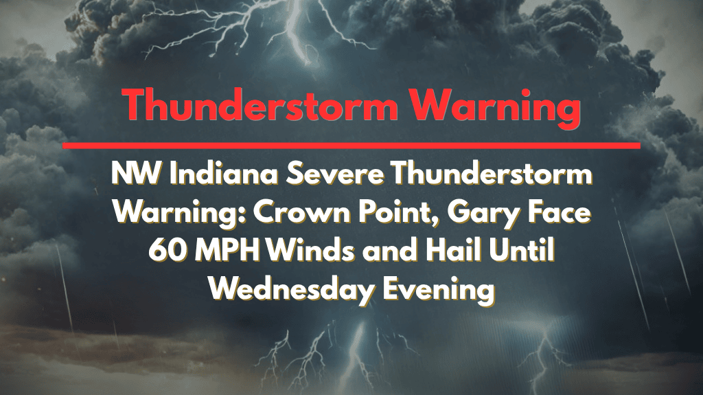
Severe thunderstorms are making their way through Northwest Indiana this afternoon, with cities like Crown Point, Gary, and Valparaiso facing strong winds and the possibility of penny-sized hail. The Severe Thunderstorm Warning remains in effect until 5:15 p.m. Wednesday, with winds gusting up to 60 mph, posing a significant risk to residents and travelers in the affected areas.
Severe Thunderstorm Warning for Lake and Porter Counties
The National Weather Service has issued the Severe Thunderstorm Warning for Lake and Porter counties, which affects over 627,000 people, 188 schools, and 15 hospitals in the region. The warning covers areas from Cedar Lake and Dyer in the south to East Chicago, Hammond, and Beverly Shores near the Lake Michigan shoreline. These areas are at risk for damaging winds, large hail, and other hazardous conditions.
Weather Hazards and Safety Measures
The primary weather threats include wind gusts up to 60 mph and the possibility of penny-sized hail. These conditions can lead to downed trees and power lines, which could make travel difficult and dangerous. Major roads such as I-65, U.S. 30, and the Borman Expressway (I-80/94) may experience debris and flooding, so officials urge drivers to use extreme caution.
Local authorities in Griffith, Merrillville, Hobart, and Portage are advising residents to take immediate action:
Seek shelter indoors: Avoid staying outside during the storm, especially near trees and power lines.
Secure loose objects: Items like lawn furniture and trash bins could be blown away in strong winds, so make sure everything is stored safely.
Keep phones charged: Power outages are likely, so ensure your devices are fully charged in case of an emergency.
Past Storm Impact and Further Alerts
This storm system is one of the most significant severe weather events to affect Northwest Indiana this July. Similar storms earlier in the summer caused widespread power outages and tree damage across the region. Residents should prepare for the possibility of additional weather warnings or alerts as the storm system develops throughout the evening.
What to Expect Next
The Severe Thunderstorm Warning will remain in effect until 5:15 p.m. Wednesday, but residents are encouraged to stay updated on local weather reports. If conditions worsen, further warnings or advisories may be issued. It is essential to stay indoors until the storm has passed and local authorities declare the area safe.
The storm moving through Northwest Indiana today is a serious threat to residents, with 60 mph winds and hail possible. Communities such as Crown Point, Gary, and Valparaiso are urged to remain indoors and secure their property as the storm progresses. By taking safety precautions and staying informed, residents can minimize the risk of damage and injury.


