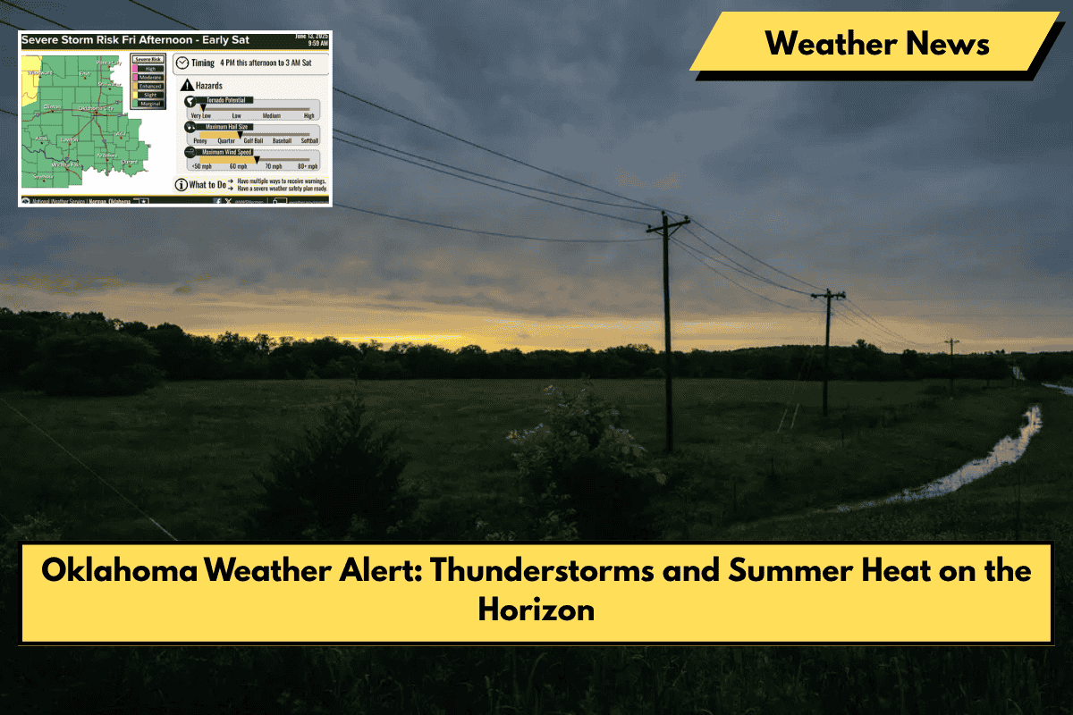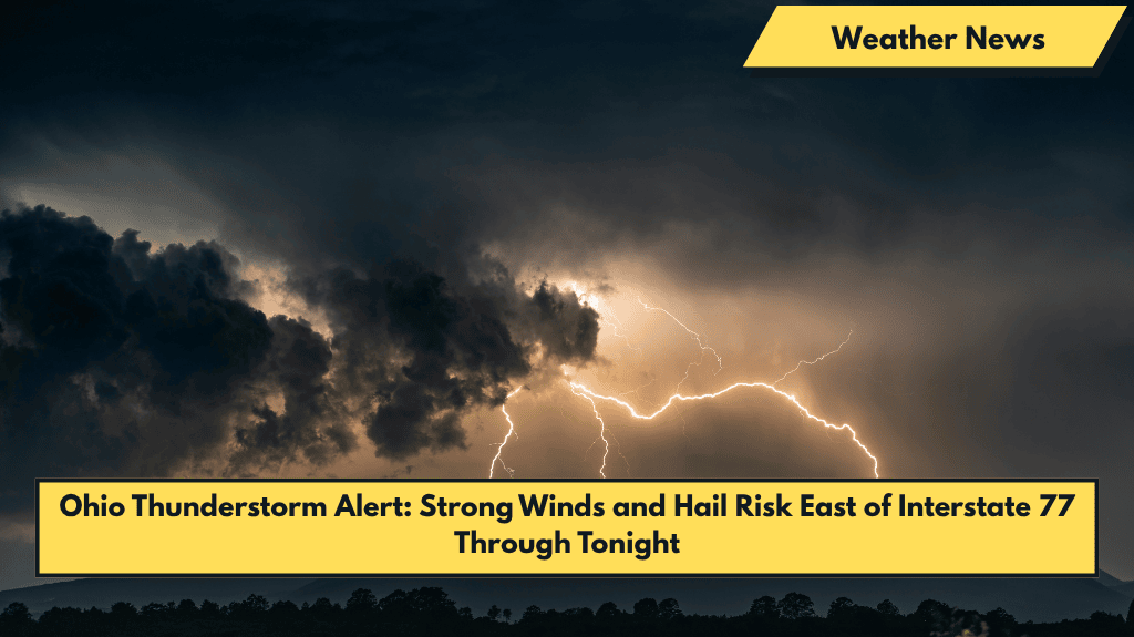
Cleveland, Ohio – Strong thunderstorms could impact parts of Northeast Ohio tonight, particularly east of Interstate 77, bringing the risk of damaging winds, hail, and heavy rain that could lead to localized flash flooding.
What to Expect: Thunderstorm Timing and Hazards
According to the National Weather Service in Cleveland, a marginal risk (Level 1 of 5) for severe weather remains in effect through Thursday evening for counties including Cuyahoga, Lake, Summit, and Trumbull. The primary hazards from these storms include:
- Gusty winds capable of downing tree branches
- Isolated quarter-size hail
- Heavy rainfall that may cause localized flash flooding, particularly in poor drainage areas
Affected Areas and Safety Precautions
Communities from Lorain to Youngstown should stay alert throughout the overnight hours. While widespread severe weather is not expected, isolated strong storms may develop quickly, especially east of the I-77 corridor.
- Drivers are urged to reduce speed during downpours and avoid driving on water-covered roads.
- Residents should secure outdoor items and be prepared for rapidly changing weather conditions.
Friday Forecast: Storms Could Redevelop
Thunderstorms are expected to redevelop Friday afternoon, with another chance for strong winds and heavy rain. Continue monitoring weather alerts for updates.
Severe thunderstorms with gusty winds, hail, and heavy rain are possible across parts of Northeast Ohio tonight. Stay alert, secure outdoor items, and avoid water-covered roads. Keep an eye on weather updates for Friday’s potential storm threat.