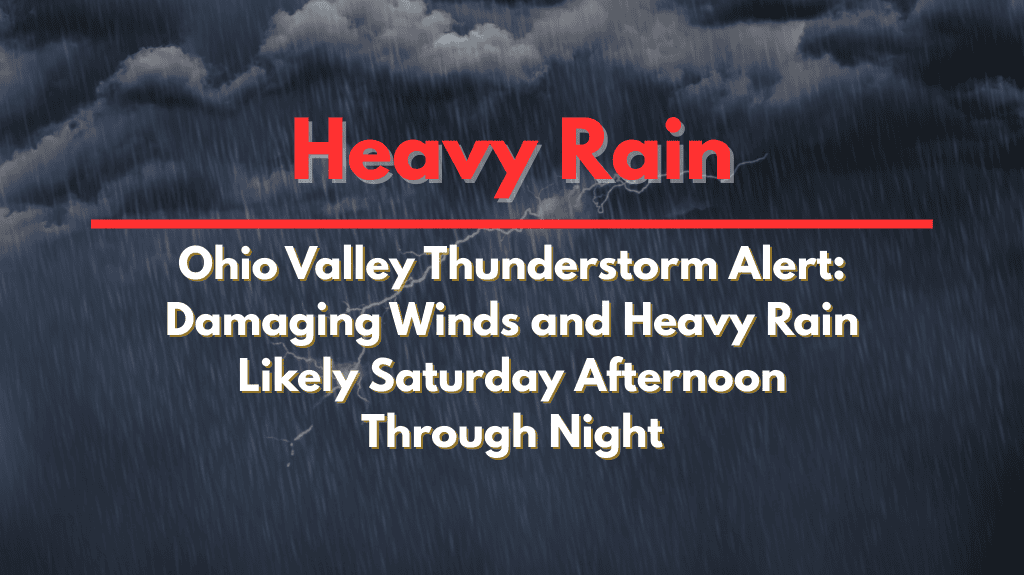
Residents of western and central Ohio should prepare for severe thunderstorms expected to hit on Saturday afternoon and continue into the night. These storms will bring damaging wind gusts, localized downpours, and the potential for flash flooding, disrupting weekend plans across the region.
Thunderstorm Risk for Saturday Afternoon
The National Weather Service in Wilmington has issued a Marginal Risk for severe weather in parts of western Ohio, including cities like Celina, Lima, and Dayton. The storms are expected to produce wind gusts that could exceed 50 mph, potentially causing damage to trees, power lines, and buildings.
There is also an Excessive Rainfall Outlook in effect for much of the region, raising concerns about localized flooding, especially in low-lying areas or urban zones.
Although the storms will start in the afternoon, they will continue into the night, spreading eastward into areas like Columbus and Lancaster. Heavy rain could cause brief street flooding, particularly in cities like Springfield, Wilmington, and Portsmouth. Power outages are also a possibility as the storms move through, particularly in areas with older infrastructure or overhead power lines.
Travel Disruptions Expected
The thunderstorms could lead to travel delays, particularly on major highways like I-75 and US-33. The heaviest rain and storm activity are expected to occur in the evening hours, making it important for drivers to stay cautious and avoid flooded roadways. If possible, stay indoors during the storms, and if you must travel, keep an eye on weather updates for the latest warnings and road closures.
Preparing for the Storms
Residents are advised to secure outdoor items, such as lawn furniture or trash cans, that could be blown around by the high winds. Charging your electronic devices ahead of time is also crucial, as power outages could impact neighborhoods. Additionally, avoid driving through flooded roads, as even a small amount of water can cause vehicles to become stuck.
The storms will begin to weaken overnight, but heavy rain may persist into the early morning hours on Sunday. Keep an eye on weather alerts from the National Weather Service for updates on the storm’s path and intensity, as more warnings may be issued through Saturday evening.
5-Day Ohio Valley Forecast:
Saturday: High 80–90°F, thunderstorms developing in the afternoon, damaging winds and heavy rain expected
Sunday: High 75–85°F, clearing skies, calmer weather
Monday: High 80–85°F, mostly sunny, dry
Tuesday: High 85–90°F, slight chance of thunderstorms
Wednesday: High 80–90°F, more rain possible later in the week
Severe thunderstorms are expected to hit western and central Ohio starting Saturday afternoon and lasting into the night. Damaging wind gusts, heavy rain, and the potential for flooding will likely disrupt travel and weekend activities.
Residents should stay alert, secure outdoor items, and avoid driving through flooded areas. Stay updated on weather alerts from local authorities to ensure safety through the stormy conditions.


