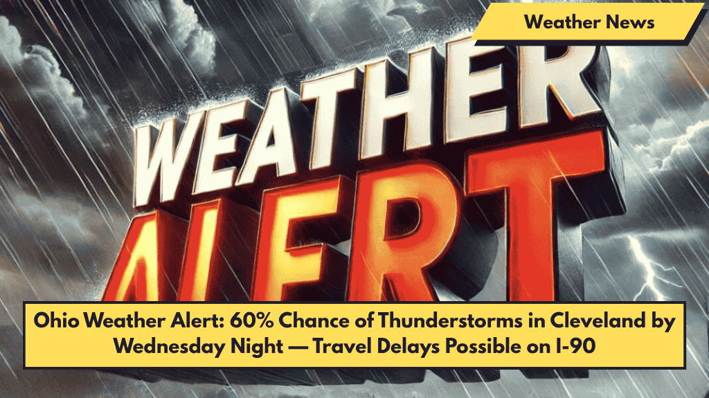
Cleveland, Ohio — Thunderstorms are expected to arrive in Northeast Ohio starting Wednesday night, bringing hazardous driving conditions and possible flash flooding through the end of the week.
Weather Forecast Details
- Wednesday: The day will be mostly dry and sunny with highs near 87°F. Winds will pick up to around 15 mph by afternoon.
- Wednesday Night: Rain and thunderstorms become possible with about a 50% chance. This could affect evening travel, especially along busy highways like I-90 and I-71.
Storm Outlook for Thursday and Friday
- Thursday: Storm chances increase to 60% after 2 p.m., continuing into the evening. Wind gusts from the southwest could reach 18 mph. Commuters are advised to plan ahead and avoid unnecessary trips during storm hours.
- Although overall rainfall should be light, isolated heavy downpours may cause minor flooding in low-lying areas.
- Friday: Showers and thunderstorms remain likely with another 60% chance of rain, mainly after 2 p.m. Outdoor events may face disruptions, and drivers should prepare for wet roads through Friday night.
Weekend Weather
- Saturday: Skies will clear with mostly sunny conditions and cooler temperatures around 70°F. This weekend looks dry and pleasant.
Important Notes
- The weather system marks a shift from June’s dry start to more active conditions midweek.
- Warnings are in place from late Wednesday through Friday evening. Additional advisories could be issued as the situation develops.
Five-Day Forecast for Cleveland (June 3–7)
| Day | Weather Description | High Temp | Rain Chance |
|---|---|---|---|
| Tuesday | Mostly sunny, haze after 1 p.m. | 83°F | Low |
| Wednesday | Sunny early, storms possible at night | 87°F | 50% |
| Thursday | Storms likely after 2 p.m. | 74°F | 60% |
| Friday | Showers and storms continue | 73°F | 60% |
| Saturday | Mostly sunny, dry and cooler | 70°F | Low |


