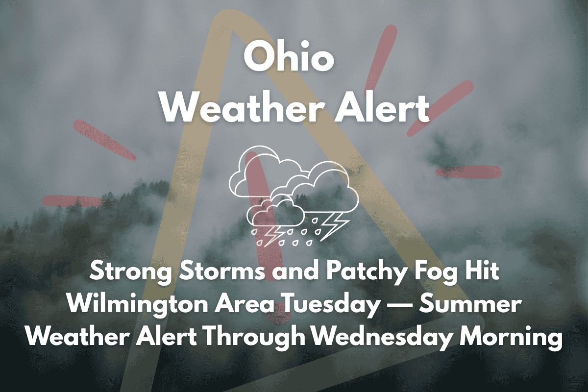
Wilmington, Ohio – A mix of strong thunderstorms, high winds, and dense fog will impact travel and outdoor activities in the Wilmington area Tuesday afternoon, as a Summer Weather Alert remains in effect. The National Weather Service warns of potential disruptions across southwest Ohio, including parts of Clinton County.
Storms and Flash Flooding Risk
The National Weather Service in Wilmington reports that strong thunderstorms will develop across central and southern Ohio from late morning through early evening on Tuesday. U.S. Route 68 and State Route 134 in Clinton County could see reduced visibility and slick pavement conditions from heavy rain and fog. Isolated flash flooding is most likely in low-lying or poorly-drained areas, especially during and after thunderstorms between 9 a.m. and 3 p.m.
Winds may gust between 40-60 mph, posing a risk of downed branches and temporary power outages. There’s also the possibility of localized flash flooding, so residents are urged to stay weather-aware.
Patchy Fog and Low Visibility Overnight
In addition to the storms, patchy fog will develop overnight, reducing visibility to under a quarter mile. This fog may persist into Wednesday morning, creating hazardous driving conditions. Drivers are advised to reduce speed, use headlights on low beam, and exercise caution in fog-prone areas.
Five-Day Forecast for Wilmington, Ohio
| Day | Weather | High Temperature | Low Temperature | Additional Information |
|---|---|---|---|---|
| Wednesday (July 2) | Mostly sunny | 85°F | – | Calm winds becoming north around 5 mph |
| Thursday (July 3) | Sunny, clear overnight | 87°F | 67°F | – |
| Friday (July 4) | Mostly sunny, light breeze | 88°F | – | No rain expected |
| Saturday (July 5) | Slight chance of afternoon storms | 91°F | – | 40% chance of precipitation |
| Sunday (July 6) | Scattered storms likely | 89°F | – | 50% rain chance by late day |


