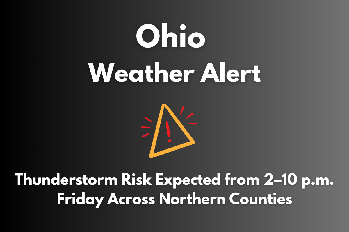
A strong thunderstorm risk is expected to hit Northern Ohio on Friday afternoon, from 2 p.m. to 10 p.m., especially impacting areas along and east of I-71. The National Weather Service in Cleveland has issued a warning for thunderstorms that could bring damaging winds, lightning, and heavy rain during this period.
Expected Thunderstorm Timeline and Areas Affected
The storms are likely to begin in the early afternoon, affecting counties like Cuyahoga, Lake, and Summit in Northeast Ohio. The storms are expected to spread westward toward the Toledo area after 5 p.m. Though the storm coverage will weaken by late evening, some thunderstorms may still be severe, with heavy rain and strong winds.
Heat and Thunderstorm Risk
Before the storms arrive, cities like Cleveland, Akron, Elyria, and Youngstown are expected to experience hot temperatures, with heat index values reaching between 95–98°F. This heat, combined with high humidity, will increase the risk of heat-related illnesses, especially for those spending time outdoors. Be cautious and stay hydrated if you are outside before the storms hit.
Safety Measures and Travel Warnings
The National Weather Service urges everyone to stay weather-aware, as visibility may be reduced during heavy rain and storms. Drivers are advised to exercise caution. People in mobile homes or attending outdoor events should plan ahead and seek shelter if the storms approach.
Though the storms are predicted to weaken by 10 p.m., the National Weather Service may issue further updates if the situation changes or if storms become more intense than expected.


