Pittsburgh, PA – Strong wind gusts and the possibility of isolated flash flooding could affect much of western Pennsylvania, eastern Ohio, and northern West Virginia starting late Thursday, as a line of thunderstorms moves through the region.
What to Expect on Thursday
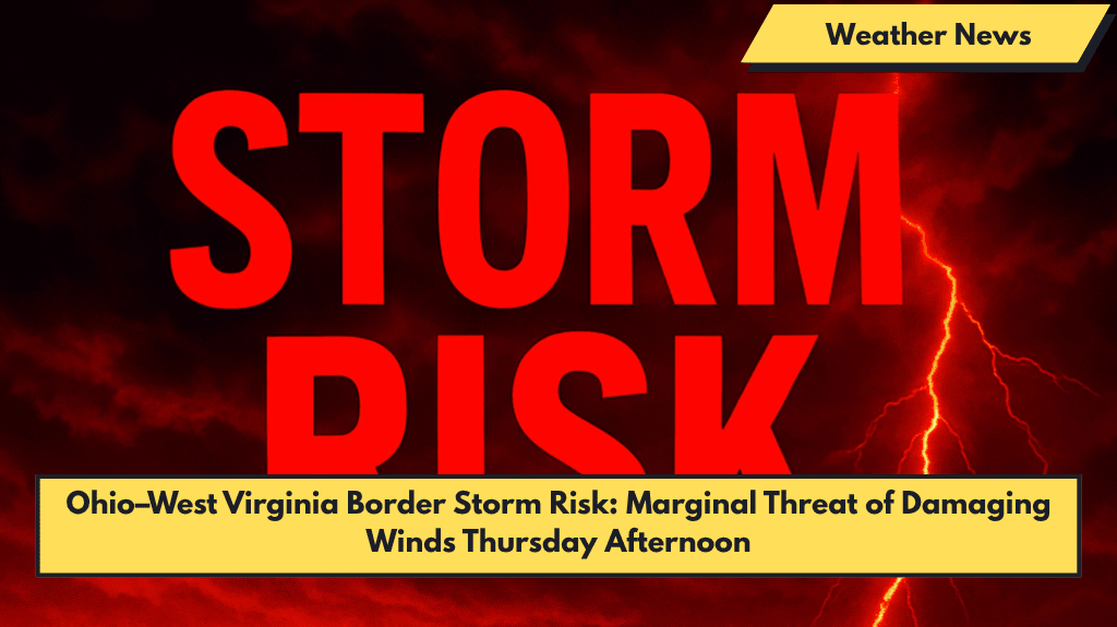
According to the National Weather Service (NWS) in Pittsburgh, a Level 1 (Marginal) risk for severe storms will be in place on Thursday and Friday, with damaging winds being the primary concern. The strongest storm activity is expected between the late afternoon and evening, particularly in areas north and west of Morgantown, WV, including Butler, Clarion, and eastern Ohio communities like Zanesville and New Philadelphia.
- Hazards: Damaging winds, isolated flash flooding, and frequent lightning.
- Storm Timing: The most intense storms are expected Thursday late afternoon into the evening.
Friday’s Risk and Flash Flood Potential
By Friday, the storm risk will shift slightly south and west, with the severe storm risk zone covering areas like Wheeling, Fairmont, and parts of southern West Virginia. Localized flash flooding could still be an issue, especially if storms move slowly during peak heating in the afternoon.
Safety Tips and Warnings
- Monitor alerts: Ensure your devices are set to receive emergency warnings throughout the day.
- Outdoor Plans: If you have outdoor plans on Thursday and Friday afternoons, make sure you have backup shelter options in case storms develop quickly.
- Travel: Be cautious while driving in the storm-affected areas, as strong winds and heavy rain could create hazardous conditions.
What’s Next: Weekend Outlook
Storms are expected to taper off by Friday night, but additional advisories could follow if the system intensifies or stalls. Keep an eye on local weather updates for any changes or additional alerts.
5-Day Weather Outlook for Pittsburgh and Surrounding Areas
- Thursday (June 5): Marginal severe storm risk, high 83°F, damaging winds and possible flash flooding
- Friday (June 6): Storms shifting south and west, high 85°F, localized flash flooding risk
- Saturday (June 7): Scattered showers, high 82°F, less severe weather
- Sunday (June 8): Mostly sunny, high 84°F
- Monday (June 9): Chance of light showers, high 83°F
Stay informed and stay safe during the stormy weather on Thursday and Friday. Keep monitoring weather updates and be ready to take shelter if necessary.


