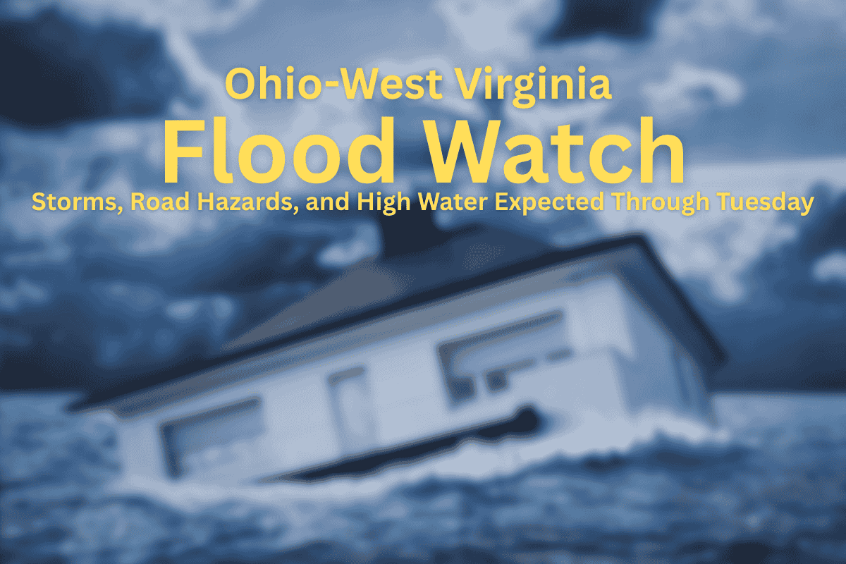
A Flood Watch is currently in effect for parts of West Virginia and southeast Ohio, with heavy rainfall affecting the region. The watch will continue through Monday evening and may extend into Tuesday morning, as the National Weather Service in Charleston predicts more thunderstorms.
These storms are likely to cause localized flash flooding, especially in low-lying areas and urban regions. Cities such as Charleston, Huntington, Parkersburg, Morgantown, and some areas in southern Ohio, like Portsmouth and Athens, are under this watch.
Ongoing Storms and Weather Conditions
Thunderstorms are expected to persist through Monday and Tuesday, with temperatures in the mountains ranging from the mid-60s to low 80s and the lowlands reaching into the upper 80s. Overnight temperatures will stay in the 60s, keeping the area warm and humid even at night.
This will contribute to continuing wet conditions, making some roads, small creeks, and underpasses especially dangerous. Flood-prone areas are expected to be the most hazardous.
Safety Recommendations for Residents
Residents are strongly advised to avoid travel during heavy rainfall. People should stay updated with alerts through NOAA Weather Radio or mobile apps. If you encounter flooded roads, remember the safety rule: “Turn around, don’t drown.” This will help prevent accidents caused by driving through deep water. There is also a possibility of power outages and temporary travel disruptions due to these storms.
Looking Ahead: More Storms Expected
The threat of storms isn’t over. More widespread showers and additional thunderstorms are expected to impact the region on Wednesday and Thursday, extending the risk of flash flooding into the latter part of the week.
In summary, with storms continuing into Tuesday, residents should stay informed, avoid unnecessary travel, and be cautious of water hazards on the road. As always, safety should be the top priority during severe weather events.


