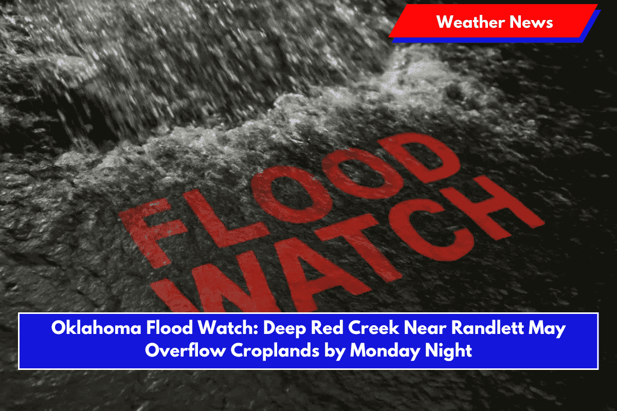
Randlett, Oklahoma – A Flood Watch has been issued for Randlett and surrounding areas as Deep Red Creek is expected to rise, potentially threatening croplands and rural roads by Monday night.
The National Weather Service (NWS) in Norman issued the watch, warning of possible flooding in low-lying areas as the creek is forecasted to reach flood stage within 24 hours.
Flooding Threat for Local Roads and Croplands
Late Sunday morning, the creek measured 3.3 feet, but NWS data predicts it could rise to 20 feet or higher by Monday night, putting local croplands and roads at risk.
Flooding up to two feet is possible in areas close to the creek, including pasturelands and rural roads. Cotton County residents, especially those west of Highway 65 and near the intersections of county roads 2460 and 1850, should remain vigilant for rising water.
Advice for Residents and Farmers
Residents are urged to avoid driving through flooded roadways, as the rising water could make them impassable. Farmers should also take precautions to secure livestock, equipment, and any valuable items in flood-prone areas.
The potential for flooding is especially concerning for croplands, which could be impacted by the heavy rainfall over the weekend and more showers expected through Tuesday night.
Recent Heavy Rainfall and Ongoing Showers
The threat of flooding follows a weekend of heavy rainfall across southwest Oklahoma. This region has experienced similar flooding events in recent summers, particularly when storm systems stall over the Red River basin.
Additional rain is forecasted through Tuesday night, which could exacerbate the flooding threat along Deep Red Creek.
Flood Watch in Effect Through Wednesday Morning
The Flood Watch remains in effect through late Wednesday morning, and NWS will continue to provide updates on river levels at weather.gov. Residents should stay informed and take necessary precautions to protect their property and safety.


