Tulsa, Oklahoma – A volatile combination of severe thunderstorms, dangerous heat, and flood risks are expected to affect Tulsa and surrounding counties through midweek. Residents are urged to stay prepared for hazardous weather conditions, especially on Wednesday.
Severe Storms and Flood Risks
The National Weather Service in Tulsa reports that thunderstorms will continue developing south of I-40 on Tuesday evening, with strong winds and hail likely. Southeast Oklahoma, including areas around Tulsa, will see increased chances of thunderstorms through Wednesday night.
A Flood Warning remains in effect along the Caney River near Collinsville, with roads in north Tulsa County potentially becoming impassable by early Wednesday morning. Residents should avoid driving through flooded roads and monitor weather alerts closely.
Dangerous Heat and High Humidity
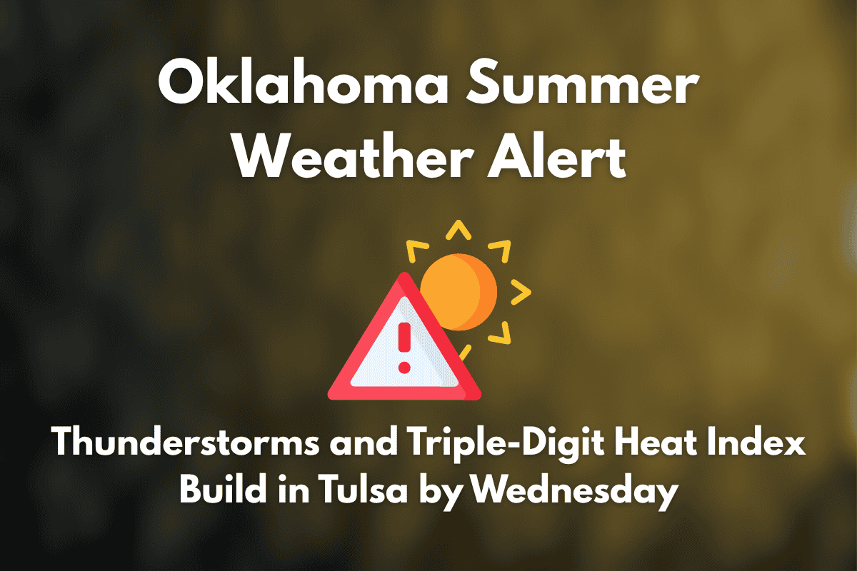
By Wednesday afternoon, heat index values are expected to soar above 100°F, creating dangerous conditions that will last into the July 4th weekend. Outdoor activities should be adjusted to account for the combination of high heat, humidity, and the potential for lightning and downpours. Authorities recommend staying hydrated and avoiding prolonged exposure to the heat, especially during peak afternoon hours.
Storms and Hail on Tuesday Afternoon
Tuesday afternoon’s storms could bring up to quarter-sized hail and localized flash flooding. Be prepared for possible disruptions in outdoor plans and travel, especially during the late afternoon and evening hours.
Five-Day Tulsa Forecast (July 2 – July 6)
| Day | Weather | High Temperature | Additional Information |
|---|---|---|---|
| Wednesday | Mostly sunny | 90°F | Southeast wind 5 mph |
| Thursday | Slight chance of storms after 1 p.m. | 90°F | Otherwise sunny |
| Independence Day (Friday) | 20% chance of early showers, then mostly sunny | 92°F | Humid |
| Saturday | Sunny and breezy | 91°F | Gusts up to 20 mph |
| Sunday | 20% chance of evening storms | 92°F | Light south wind |


