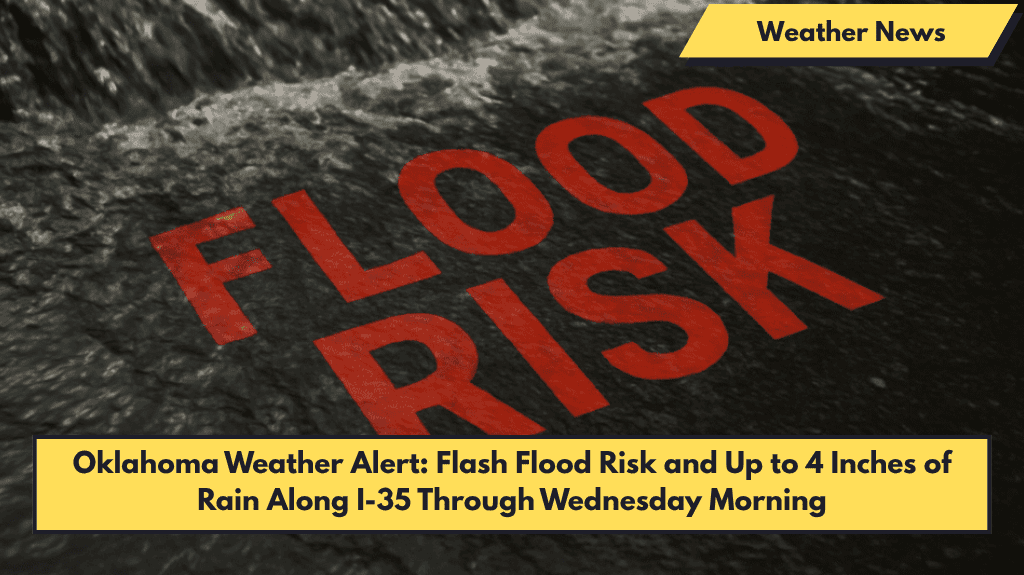
Oklahoma City, Oklahoma — Central Oklahoma faces a high risk of flash flooding as a Flood Watch remains in effect through 7 a.m. Wednesday, with heavy rain expected to bring up to 4 inches in some locations.
What to Expect
The National Weather Service in Norman reports widespread thunderstorms Tuesday night delivering:
- 1 to 2 inches of rain broadly, with some areas receiving 3 to 4 inches, especially in low-lying regions along I-35 and I-40.
- Heavy rain could cause flash flooding in cities like Norman, Oklahoma City, Ardmore, and Lawton, plus flooding along creeks and tributaries in Cleveland, Payne, Pottawatomie, and Pontotoc counties.
Safety and Travel Tips
- Drivers should avoid flooded roadways and watch for rapidly rising water, especially near rivers, streams, and rural roads.
- Stay tuned to local weather alerts and plan alternate routes if needed.
Outlook
Rain and flood risks will lessen by late Wednesday morning as drier air moves in. However, more thunderstorms could develop later in the week.
Five-Day Forecast for Oklahoma City (June 3–7)
| Day | Weather | High Temp |
|---|---|---|
| Tuesday | Thunderstorms likely, heavy rain | 85°F |
| Wednesday | Mostly cloudy, cooler | 73°F |
| Thursday | 40% chance of storms before 1 p.m. | 81°F |
| Friday | Mostly sunny, slight rain chance | 85°F |
| Saturday | Afternoon storms likely, rain chance 60% | 83°F |


