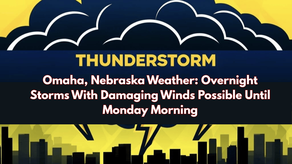
Omaha, Nebraska – Strong storms may awaken residents in eastern Nebraska and western Iowa overnight, with the most intense activity expected between midnight and 4 a.m. Monday. The National Weather Service warns that damaging wind gusts will be the main concern, as well as heavy rainfall in some areas.
Storms are expected to continue into Monday night, according to the National Weather Service in Omaha, as another round of severe weather may form along the South Dakota-Nebraska border before moving south into the region.
A complex of storms could pass through Lincoln, Omaha, and Council Bluffs overnight Monday, posing new threats of damaging winds.
Daytime temperatures will be hot and humid, particularly in southeast Nebraska and southwest Iowa. High temperatures in the low 90s, combined with high humidity, will push heat index values into the 100 to 105 range in the afternoon. Drivers and outdoor workers should take additional precautions to stay cool and hydrated.
Residents in Lincoln, Omaha, and surrounding counties are urged to secure loose outdoor items and avoid unnecessary late-night travel as storms approach. Spotters are encouraged to report rainfall totals greater than one inch to the Omaha weather office.
Warnings and advisories may be updated until Monday night as conditions change.


