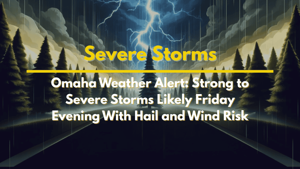
People across eastern Nebraska should prepare for potentially severe thunderstorms on Friday evening, as a strong cold front moves through the state. The National Weather Service in Omaha/Valley says the storms could bring damaging winds, hail, and heavy rain, especially in areas from Norfolk to Lincoln to Omaha.
What to Expect From Friday’s Storms
Weather experts are keeping a close eye on storm development starting Friday afternoon. These storms are expected to intensify into the evening, right when many people might be outdoors for events or travelling home.
Here’s what you could face:
Wind gusts between 60 and 70 mph
Hail up to 1 inch in diameter (about the size of a quarter)
Heavy rainfall that could cause localized flooding
Lightning strikes that may impact outdoor events
The tornado risk is low, but not zero. Even without tornadoes, these storms can still cause serious damage and travel disruption.
Areas Most at Risk
If you live or are travelling in the following cities, you should stay weather-aware Friday evening:
Omaha
Lincoln
Norfolk
Communities along Highway 275, I-80, and Highway 77
Outdoor events such as high school football games, concerts, and local festivals could be affected. Make backup plans in case weather conditions worsen quickly.
Safety Tips for Friday Evening
As the storms are expected during the late afternoon and evening, when many people are outside or on the move, it’s important to be ready:
Keep your phone fully charged and enable emergency alerts
Follow local weather apps or radio stations for real-time updates
Avoid parking under trees or near power lines
Know where to find shelter quickly if lightning or strong winds hit
If driving, watch for water on roads and reduced visibility
Emergency managers urge everyone to have more than one way to get warnings, especially since the situation can change fast.
Weekend Weather Outlook
Once the cold front passes, cooler and calmer weather is expected for the weekend. Saturday morning will likely mark the end of the severe storm threat. However, if storms turn stronger than forecasted, additional weather advisories may be issued, so stay tuned for updates through Friday night.
Final Thoughts
With the timing of the storms hitting around Friday evening, it’s important to stay alert if you’re planning to attend outdoor events or travel. While tornadoes are not the main threat, strong winds, hail, and lightning can still create dangerous situations. Stay informed, be prepared, and take quick action if warnings are issued to keep yourself and others safe.


