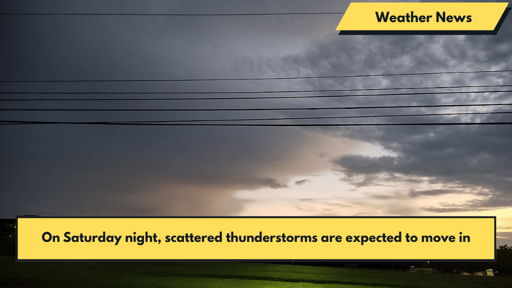
Overnight, scattered showers and thunderstorms will gradually wind down, giving way to areas of patchy fog around dawn. Temperatures will dip into the 60s for overnight lows.
Sunday Morning and Afternoon
Isolated showers will linger into Sunday morning but will move out early in the afternoon. As cloud cover begins to clear, we can expect a pleasant second half of the day with mostly sunny skies.
Temperatures will remain cooler than usual for this time of year, reaching highs in the upper 70s to low 80s—well below the seasonable average.
Monday: Return of Storms and Flash Flooding Risk
The pleasant weather will be short-lived as showers and thunderstorms return on Monday. The main hazards will be localized flash flooding and gusty winds, especially in areas already impacted by previous storms.
Saturated ground could heighten the risk of flash flooding, so stay alert for changing conditions and be prepared for potential stormy weather as the day progresses.
Enjoy your Sunday, and stay prepared for the storms that may roll in on Monday!


