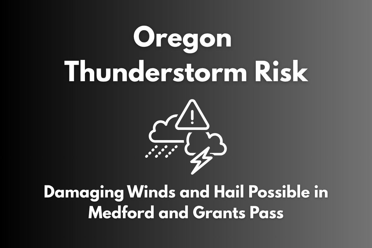
Medford, Oregon – Scattered thunderstorms are expected to impact southwest Oregon and northern California on Monday, between 2 p.m. and 10 p.m., with the potential for damaging winds and hail. Areas like Medford, Grants Pass, Yreka, and Klamath Falls are at marginal risk for severe storms, with wind gusts reaching up to 60 mph and lightning as the primary hazards.
Storm Threat and Severe Weather Risk
The National Weather Service in Medford has forecast a 10–15% chance of severe storms occurring in the region, with the highest risks focused on Josephine, Jackson, Klamath, Lake, Siskiyou, and Modoc counties. Hail up to 1 inch in diameter is also possible, and while tornadoes are not expected, localized wind damage, including downed branches or power outages, is likely.
Safety Tips for Thunderstorms
Residents and visitors in the affected areas should stay alert, especially during the afternoon and evening. Outdoor workers and drivers should be cautious of rapidly changing conditions. If you hear thunder, seek shelter indoors immediately, as lightning can strike outside of rain zones.
Secure any loose outdoor items that could be blown away by the winds and ensure you have multiple ways to receive weather updates, such as NOAA weather radios or mobile notifications.
While the severe weather threat diminishes after 10 p.m. Monday, storm chances will continue on Tuesday, and updated advisories may be issued. Stay weather-aware and be prepared for any unexpected changes in the forecast.


