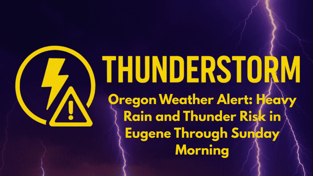
Showers and thunderstorms are moving across Eugene overnight, bringing wet roads and the potential for localized flooding into early Sunday morning. Rain chances are at 80%, with temperatures holding steady around 62°F.
Rain and Thunderstorms Continuing Into Sunday Afternoon
According to the National Weather Service in Portland, showers and possible thunderstorms will continue into Sunday afternoon, with heavier downpours expected before 2 p.m. A high of 72°F is expected as skies gradually clear, and winds will shift from the south to the northwest by late afternoon, helping to dry conditions.
Travel Disruptions and Safety Warnings
The wet weather may slow travel around Eugene, Springfield, and along I-5 through the Willamette Valley. Drivers should exercise caution on slick roads, especially during early commutes or when heavier bands of rain move through. Outdoor events may also face disruptions until the storms taper off.
Sunny Skies and Warm Temperatures Ahead
Sunny skies will return Monday, with highs climbing to 76°F. By Tuesday, temperatures will reach 87°F. The midweek stretch will stay mostly dry and seasonable, providing a break from the unsettled weekend weather.
Improving Conditions and No Additional Advisories
Showers are expected to taper off by Sunday evening, with conditions improving steadily into the workweek. No additional advisories are expected beyond Sunday.
Five Day Forecast for Eugene, Ore.
Sunday
Showers likely, thunderstorms possible early. High 72°F.
Monday
Sunny, high near 76°F.
Tuesday
Sunny and warmer, high 87°F.
Wednesday
Sunny, high 76°F. Partly cloudy at night.
Thursday
Mostly sunny, high 77°F.


